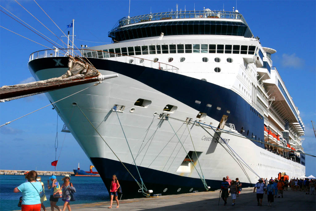
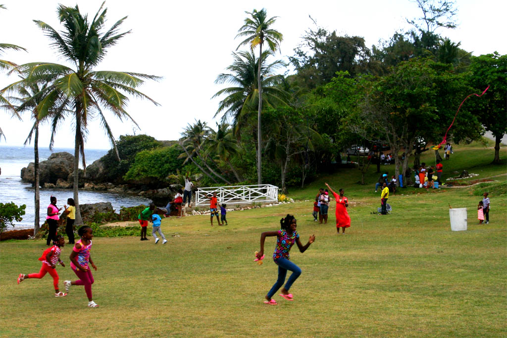
Our first Caribbean island we visited was Barbados. It was the farthest island from Puerto Rico of our itinerary which we reached after a whole day at sea. We arrived early in the morning in Bridgetown, the capitol of Barbados. We could disembark at 8:00 a.m. We always tried to get from the ship as early as possible to have most of the day for the land excursion. We were usually ready for breakfast at 7:30 at the latest. I ate proactively enough to last for the whole day, even if it was not my time for a heavy breakfast. Having lunch on the island means less time for sight-seeing and it saves money.
Remark: The photos on the right side may not be correctly adjusted if you use Mozilla Firefox or Chrome. I propose to use the Explorer or Edge of Microsoft instead (even if most people prefer the others).
Click the small picture to get it enlarged
| Arrival in Barbados
|
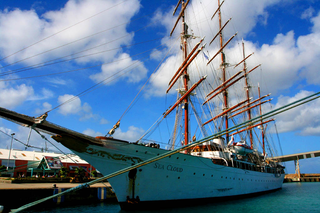
| Beside the Sea Cloud
|
As soon as we did get from the ship we were looking for a taxi. There were many drivers offering trips to any place on the island or an island roundtrip. The advantage is that you can determine yourself where you want to go and where you want to stop and for how long. I had read about the best places to visit in my guide book just before we arrive. By the way, all the taxi drivers also acted as a guide by explaining the sights and answering all our questions. We made a deal with the taxi driver Michael for 120 USD for a round trip almost all day. With a taxi you were able to see more and you also were always ahead of the slowly crowd of the ship's excursion packages.
The ship offered land excursions lasting 3.5 to 4.0 hours between 49.75 and 109.75 USD per person. Actually not much to do or to see in 4 hours.
However, it also offered more than just land excursions: About 13 more activities you can choose from like snorkeling, sailing, submarine expedition, safari, zipline adventure, turtle riding, golfing or just swimming with prices ranging up to 175.00 USD.
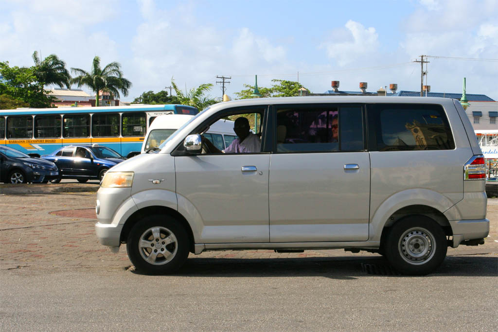
| Our van with driver Michael
|
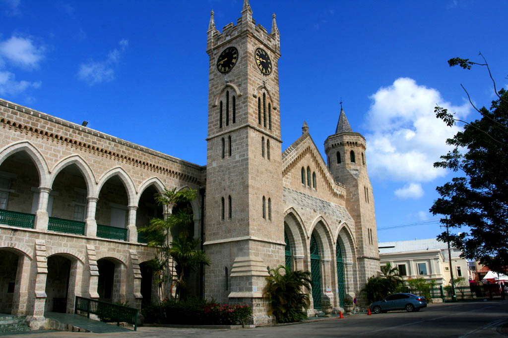
| Passing-by the first sight: The Parliament
|
From the pier we had to drive through Bridgetown and then eastwards in the direction to the airport. After passing the airport we turned to the east coast and then driving up north where we hit our first beach.
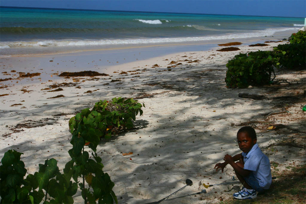
| Our first stop at a beach almost empty
|
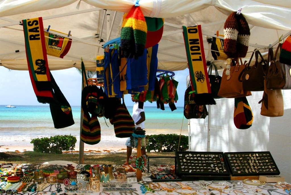
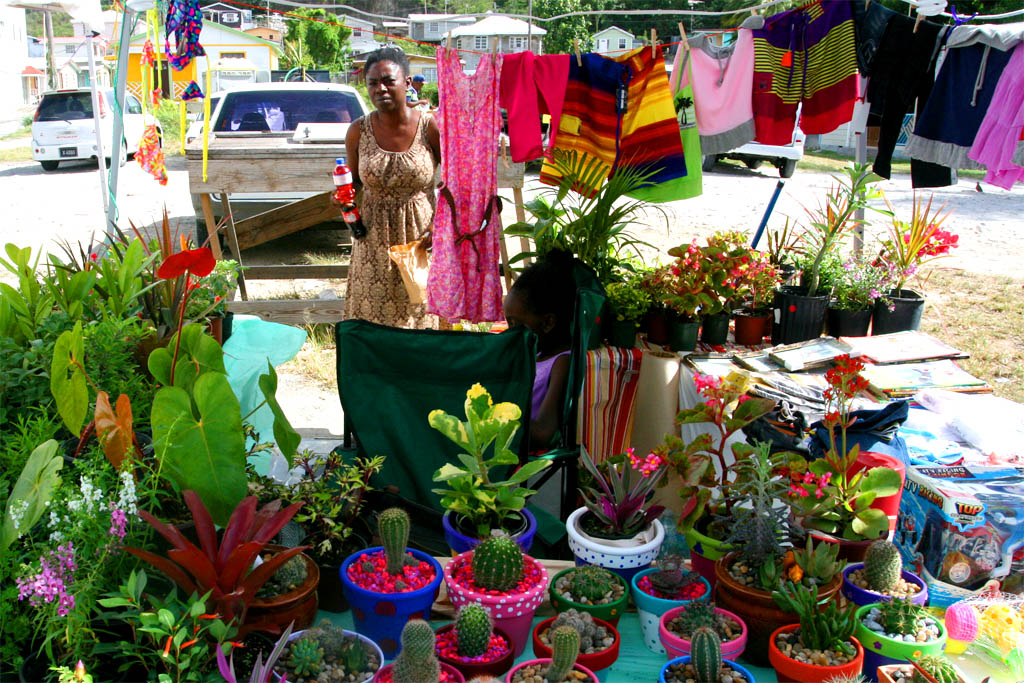
| Not so empty was this souvenir stall
|
| Part of some kind of a market
|
| on the way to the Crane Beach
|
Now we arrived at the Crane Beach with the Hotel "The Crane" on top of one of the rocks. It is the oldest tourist accommodation on Barbados. The name Crane is derived from cranes on the cliffs once used to load and unload to/from the ships moored here. Couldn't they find another harbor?
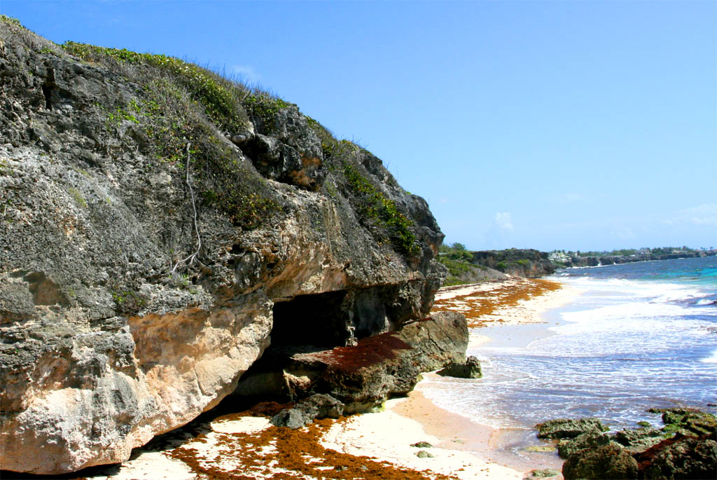
| The Crane Beach on the left
|
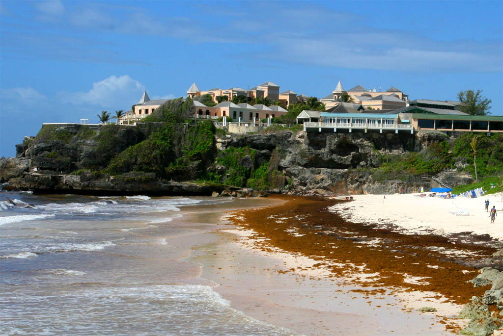
| The Crane Beach on the right
|
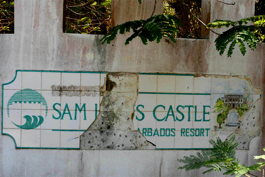
After the Crane Beach we drove to Sam Lord's Castle. At first our driver hesitated to go there, but I really wanted to see it. I have read an interesting story of this place. Samuel Hall Lord, who built this castle, was a pirate. He mislead merchant ships onto the dangerous cliffs by a ghost light. He then killed everybody on board and salvaged the load.
Our driver Michael was probably afraid of the ghosts from the killed sailors who were supposedly roaming around in the castle in his mind, because he even didn't want to drive us to the front of the castle (there was a road), so that we had to walk the last hundred meters. Why to be afraid if it even became a resort once. Unfortunately it was burned down in the year 2010.
| The Sam Lord's Castle
|
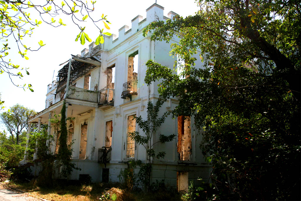
| Unfortunately burned down
|
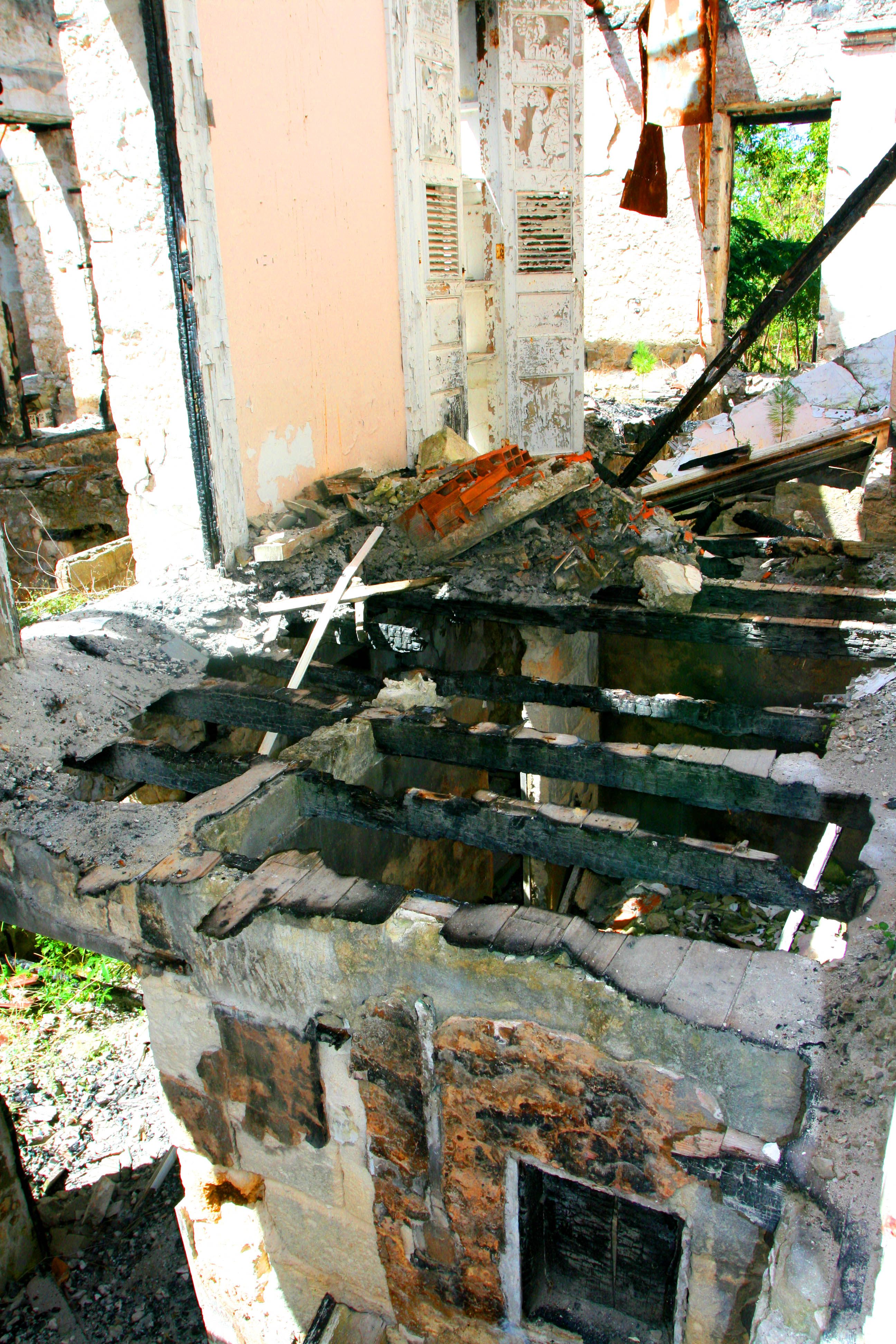
| And inside it really looks
|
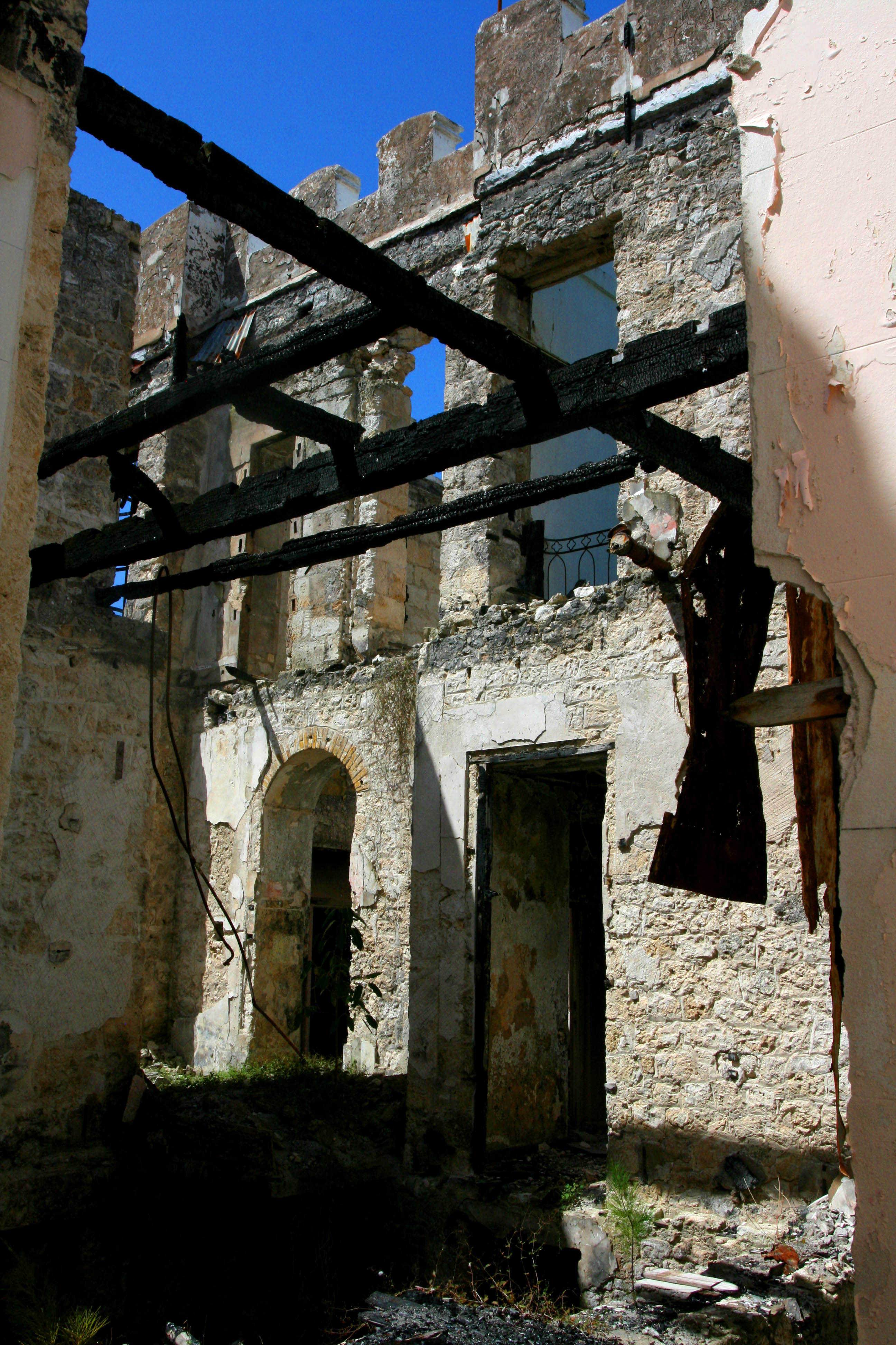
| ghostly
|
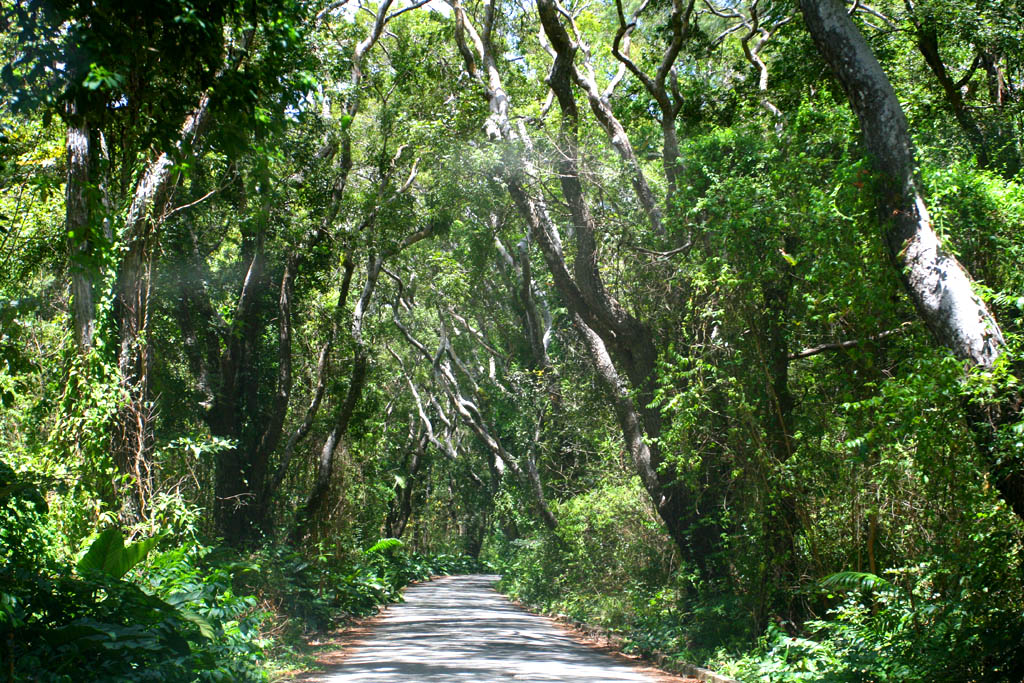
| Then driving through the countryside
|
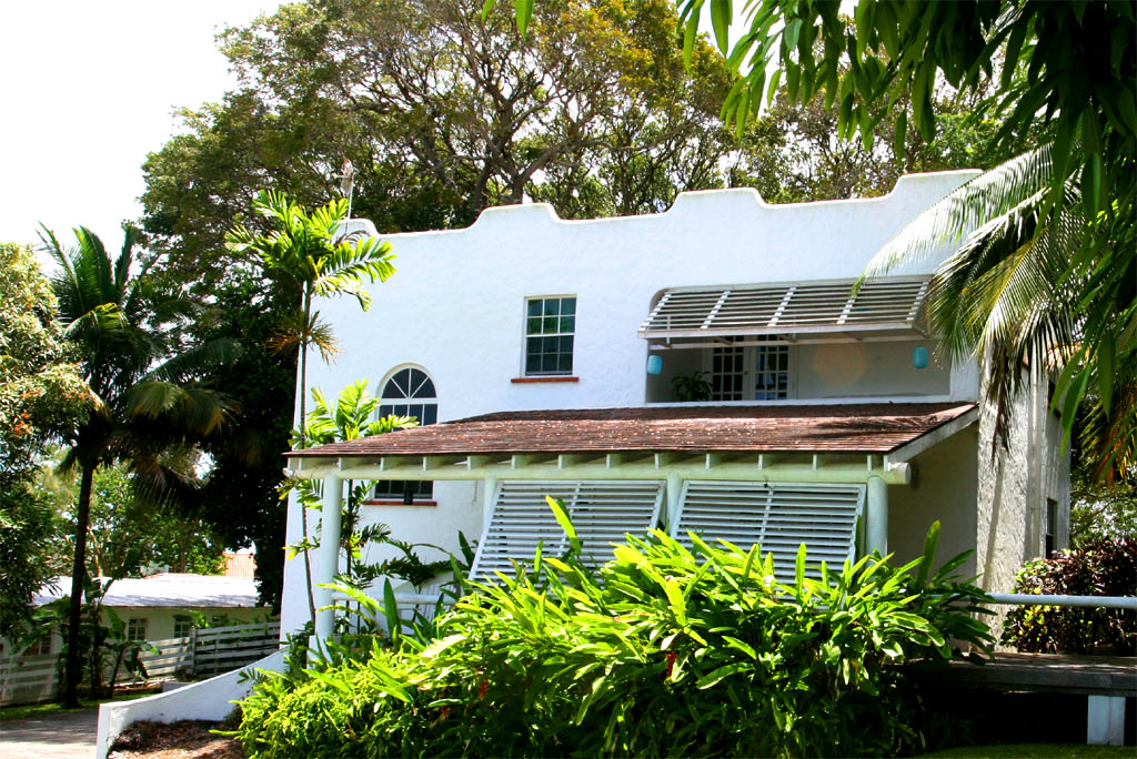
| passing-by modern houses like this one
|
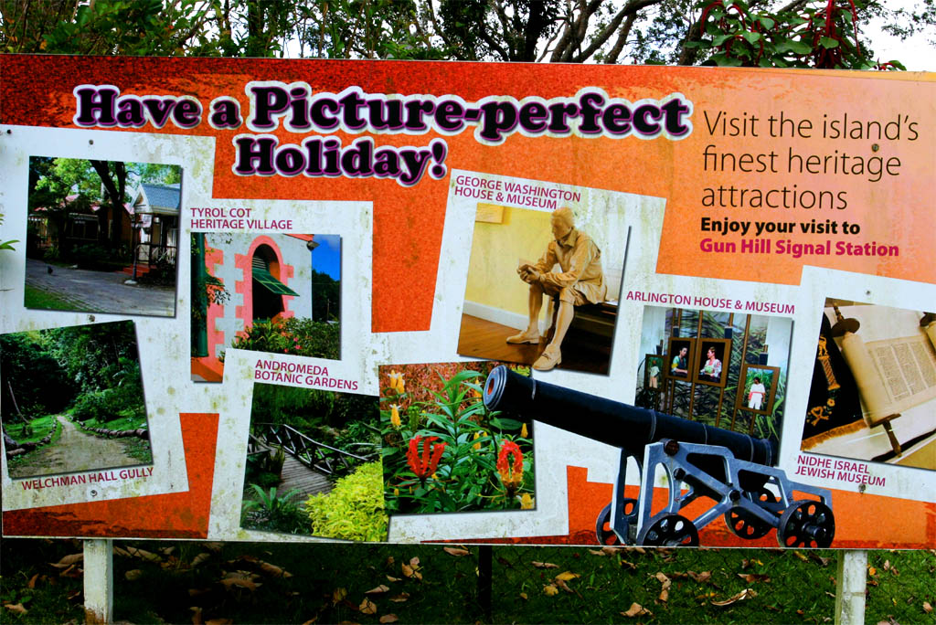
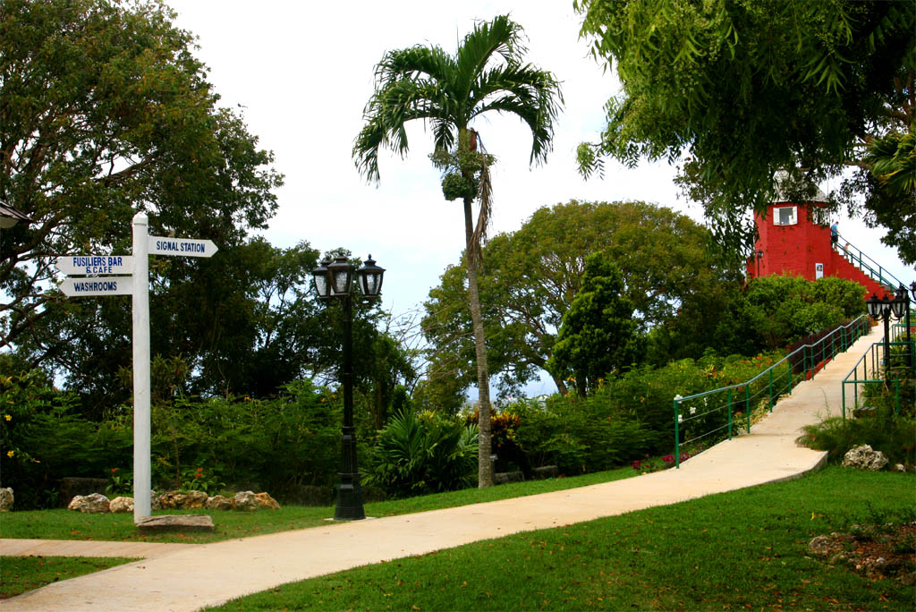
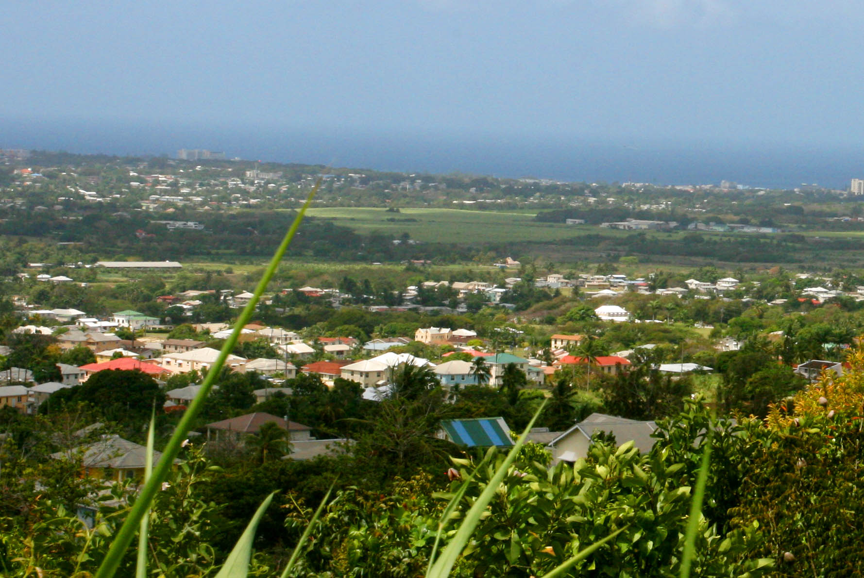
Next stop was at the Gun Hill Signal Station in the middle of the island. We didn't enter, because we didn't want to pay 10.00 Dollars just for taking a look down to the countryside. It also was not that antique anymore because of its restoration in the year 1980. We only took a look from the fence to the station and from a view point beside it. The entrance fee really was outrages. Later I had a second thought that this was actually 10.00 Barbados Dollars, half the value of an US Dollar, thus 5.00 USD, but still too much just for taking a look.
| Reaching Gun Hill Signal Station
|
| for a picture perfect holiday?
|
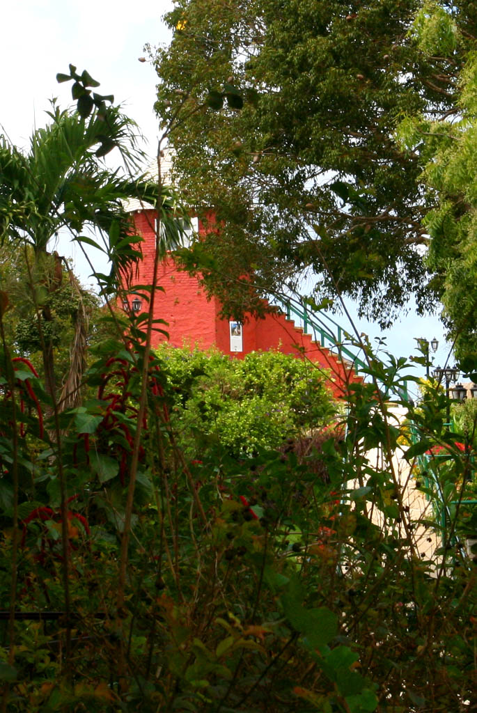
| Close-up of the look-out
|
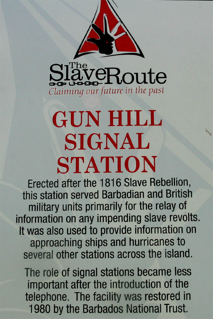
| That's the history of it
|
| Beside a view to the country side
|
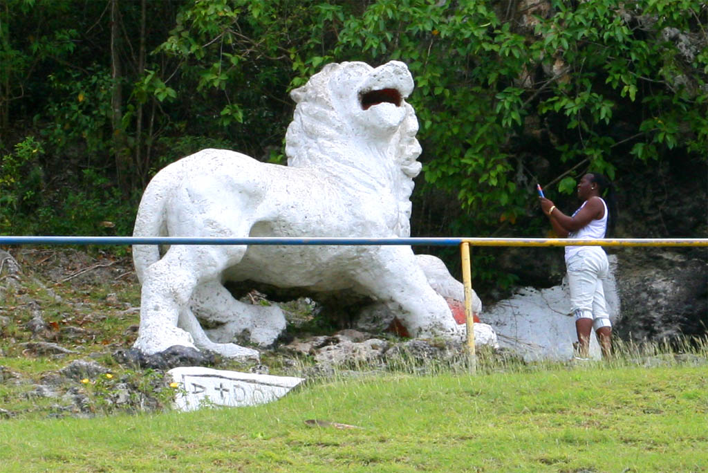
| Then we were passing-by the Lion of Barbados
|
The lion was sculptured from limestone in the year 1868 and supposedly symbolize the power of the British Empire (more history at the end of the report).
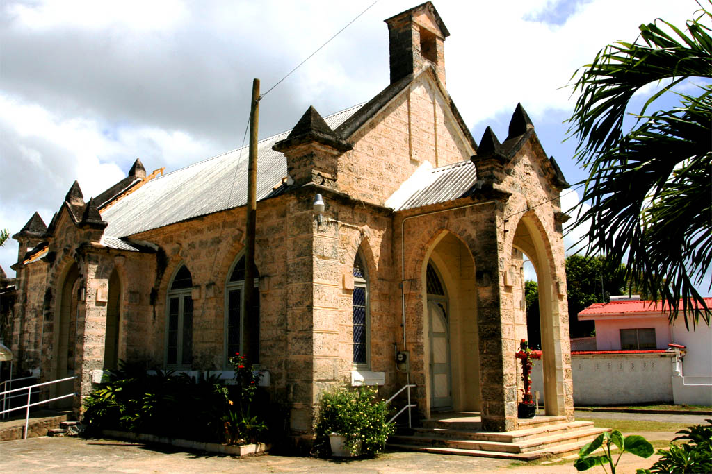
From the lion we drove north until we reached the St. John Parish Church. It was an interesting building, which experienced several calamities as you can read on the plaque. More interesting was the grave yard in the back. In one of the grave is buried Ferdinando Paleologos, a supposedly descendant from the last imperial line of Byzantine emperors, even down to Constantine the Great. Find out whether this is true or not by looking up the internet.
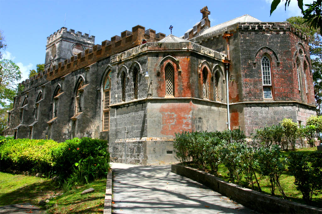
| Visting the St. John Parish Church
|
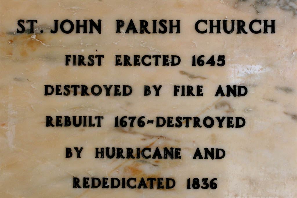
| The oldest church on Barbados
|
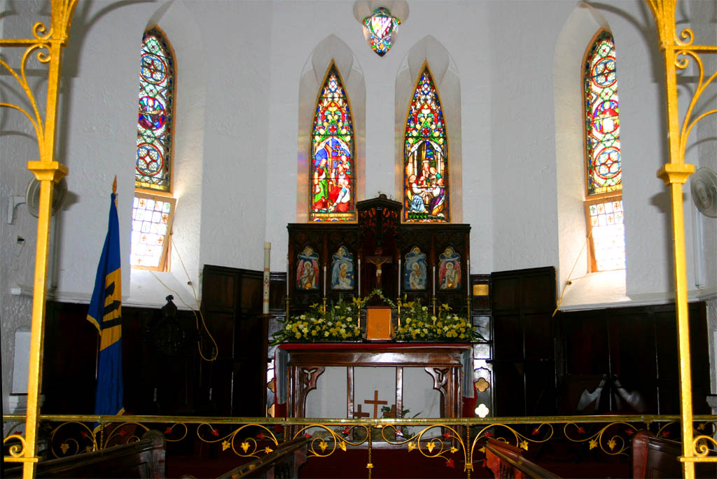
| The inside of the church
|
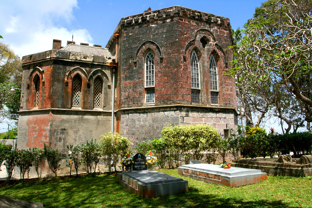
| The backside of the church with the cemetery
|
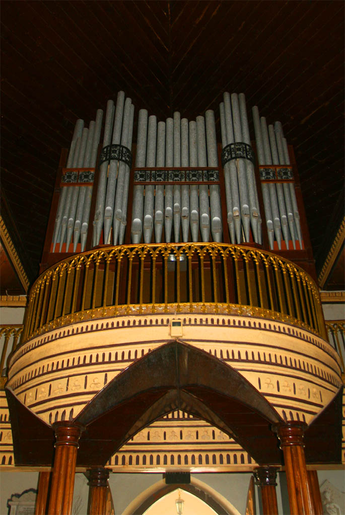
| Inside a nice organ
|
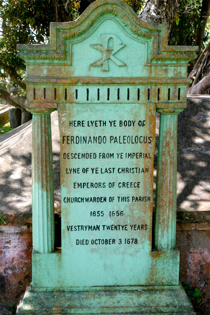
| Outside an interesting tomb stone
|
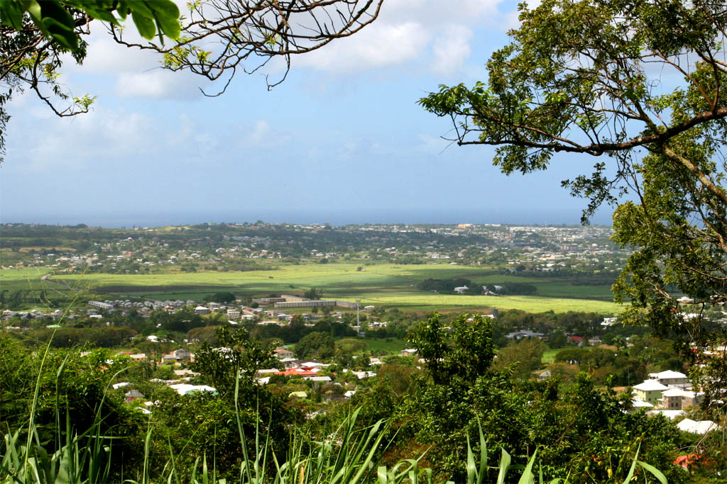
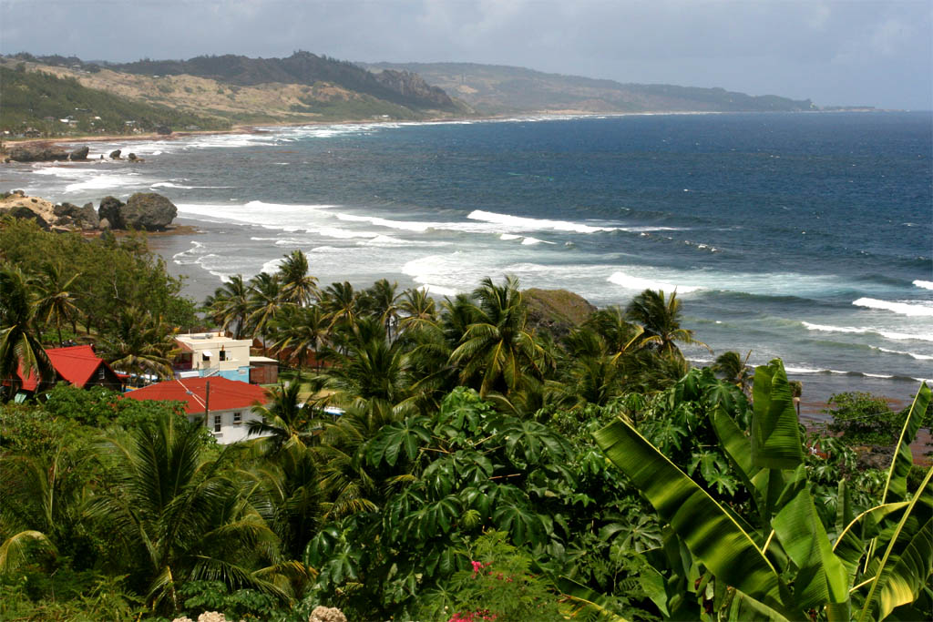
Then we continued on the road down to the east coast while enjoying a beautiful view to the sea. This is the farthest island of the Caribbean to the east facing the Atlantic ocean of which big waves rolling ashore, thus it is also a dangerous coast. The locals call it also the killer coast. The undercurrent here has many pulled out to the wide ocean and they were never found or flushed back dead to the shore. But still, for some surfers it's a challenge.
| Driving down to the coast
|
| Passing-by a nice house
|
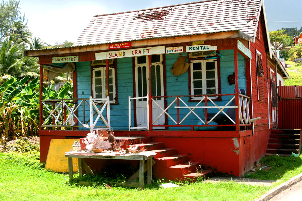
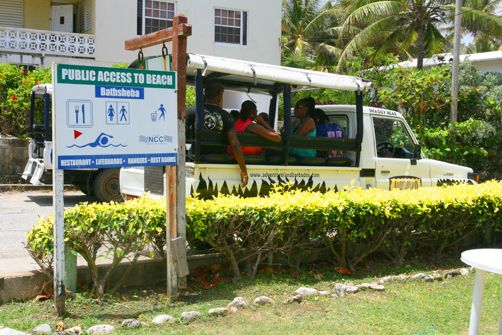
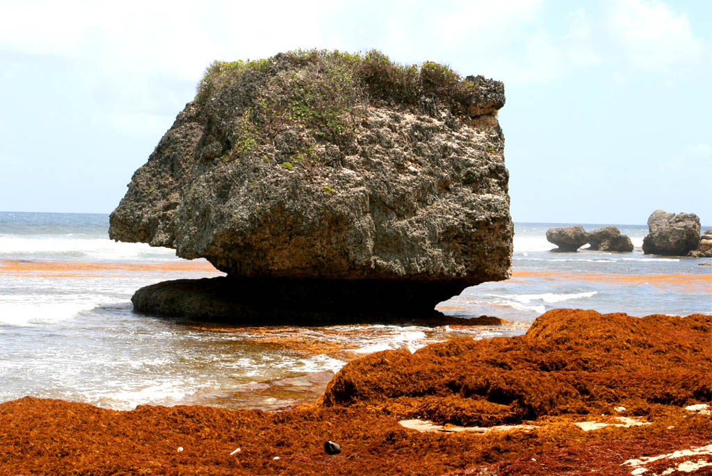
Soon we arrived in Bathsheba the main town at the east coast and visited the Bathsheba park and the adjacent beach. We neither wanted to swim nor to surf. We also didn't see any people in the water. We just wanted to look at the fantastic rocks all splattered around. The locals are here just for fun or for business like selling souvenirs to tourists. Our people from the ship, who booked an excursion, were probably not here yet.
| Arriving in Bathsheba
|
| at the public beach
|
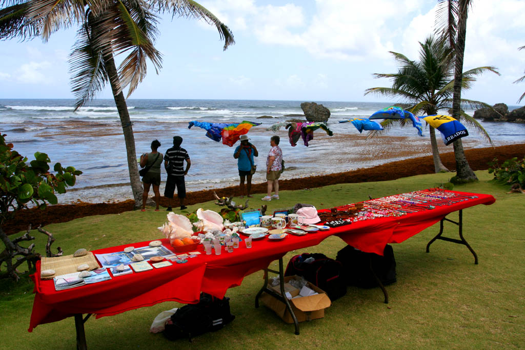
| Souvenir stalls for the tourists
|
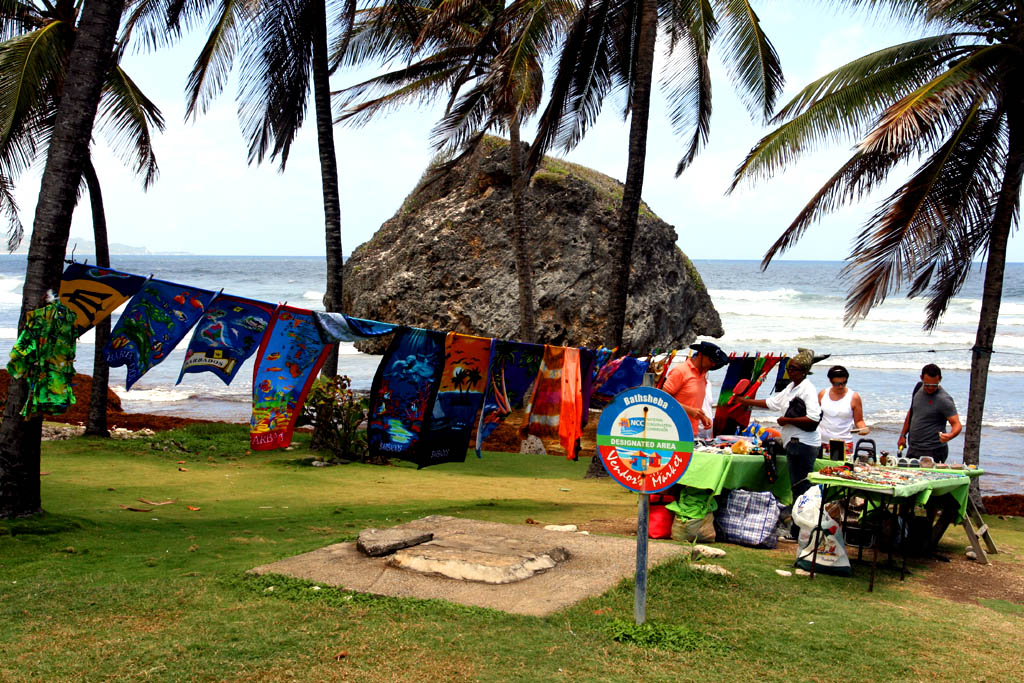
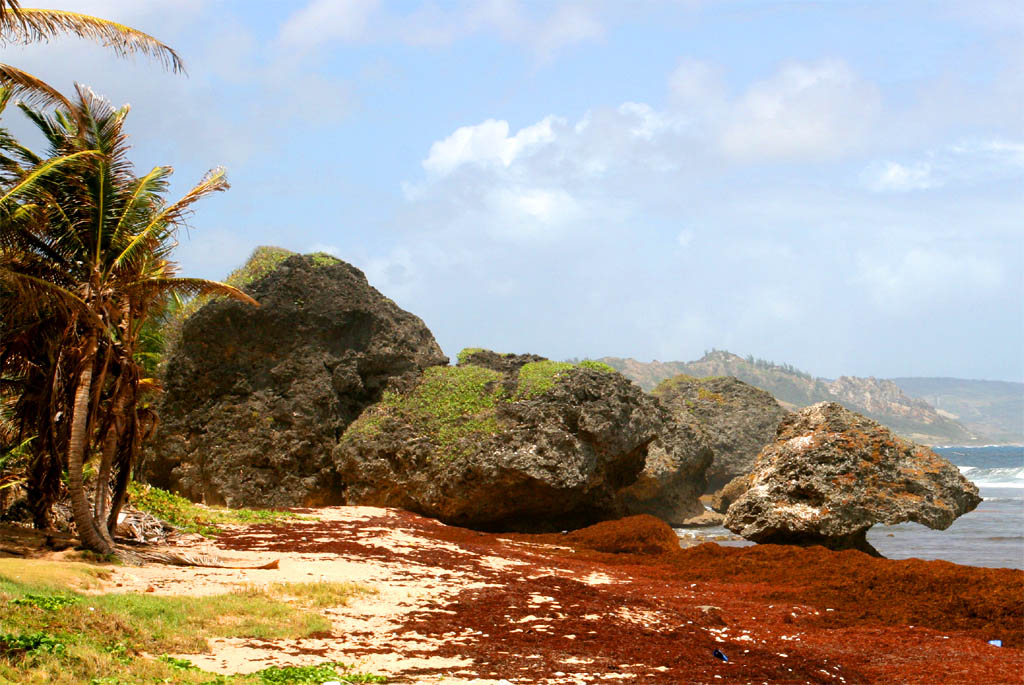
| But the tourists are here for the rocks
|
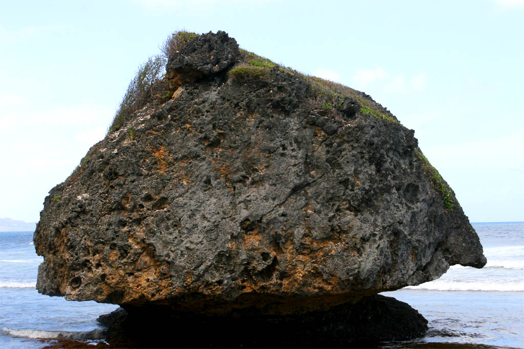
| A big rock
|
| Another big rock
|
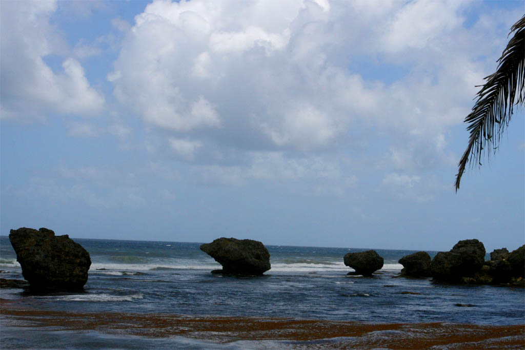
| Many more rocks
|
| along the coast
|
Then we continued on the five-mile East Coast Road, which was opened by Queen Elizabeth II on February 15, 1966. It's a nice drive, with the sea on the right and the mountains on the left. Soon we had to leave the coast road to cross the northern part of the island to finally reach North Point.
| On the road along the coast
|
| with mountains on the left
|
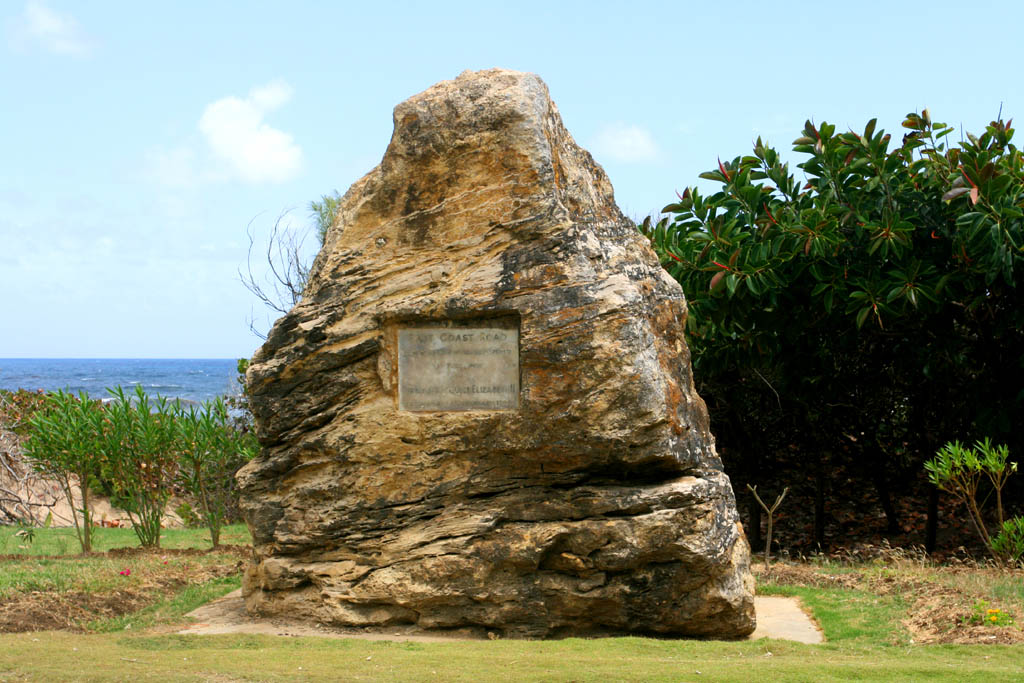
| The memorial stone of
|
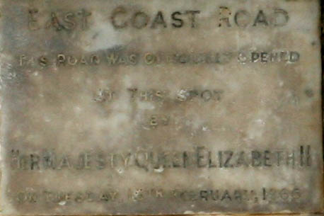
| the road's inauguration by Queen Elisabeth II
|
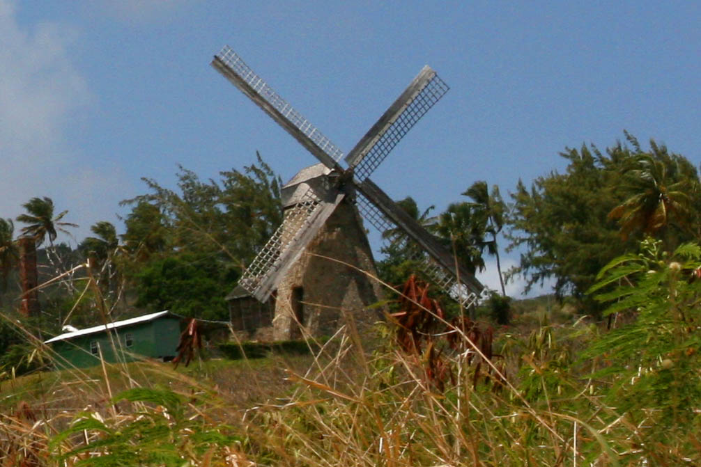
| Passing-by an old windmill
|

| Last view to the Atlantic
|
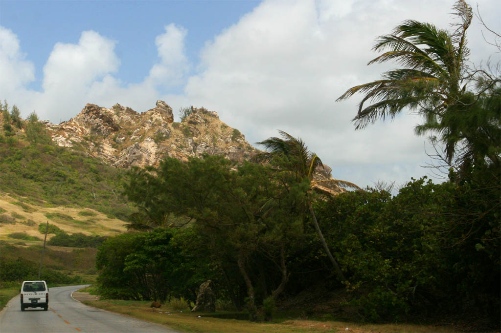
| Hitting now a beautiful overgrown country road
|
| until reaching a wild coast at North Point
|
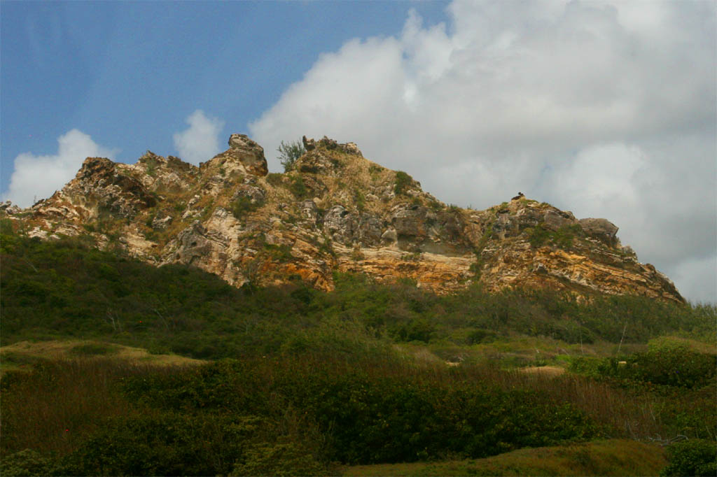
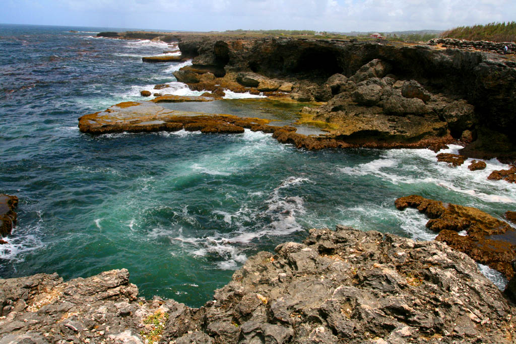
At North Point the Atlantic meets the Caribbean Sea. It's a rough karst formation and a stormy place, but very impressive. It's also a strategic point to watch what ships are coming from Europe to enter the Caribbean. Barbados was always on the watch what's going on around the island.
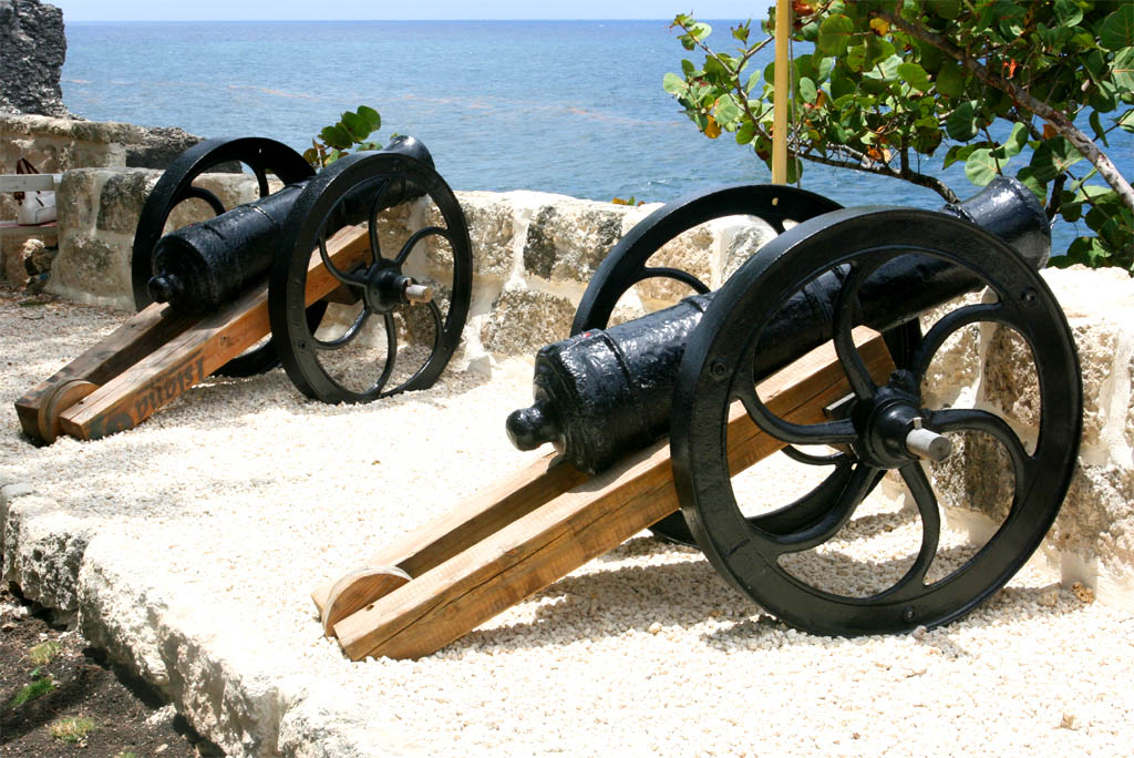
| Strategic Lookout
|
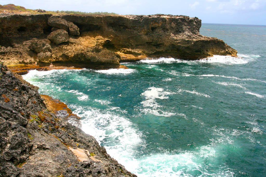
| to defend the island
|
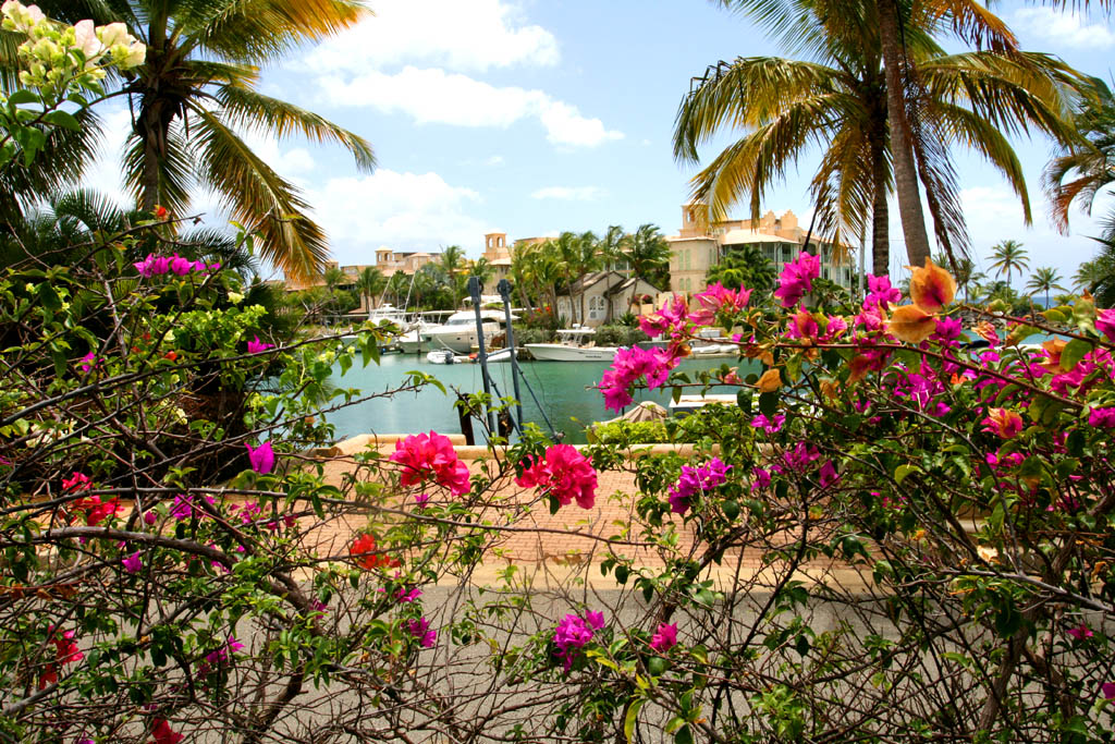
After North Point we drove down the west coast until we reached Port St. Charles, one of the richest parts of Barbados. Only rich people can afford to own one of the houses or condominiums with their own yacht moored in front at one of the following places. Look up the internet to find out whether you can afford to stay at the Port Ferdinand Luxury Marina in Six Mens or at the Port St. Charles Marina in Heywoods.
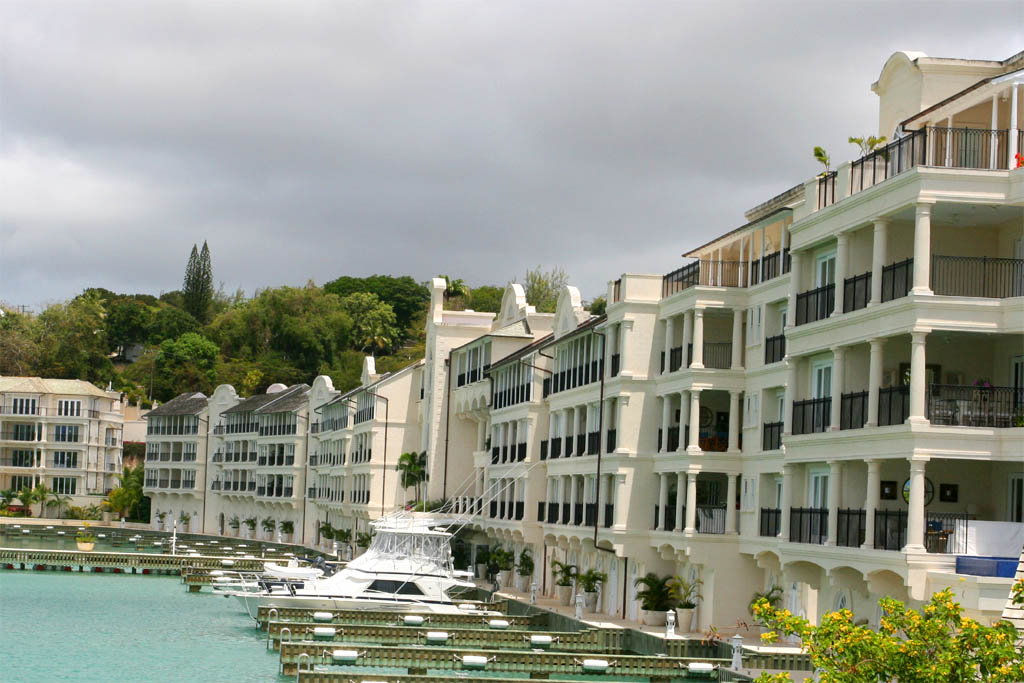
| The Port Ferdinand Luxury Marina
|
| The Port St. Charles Marina
|
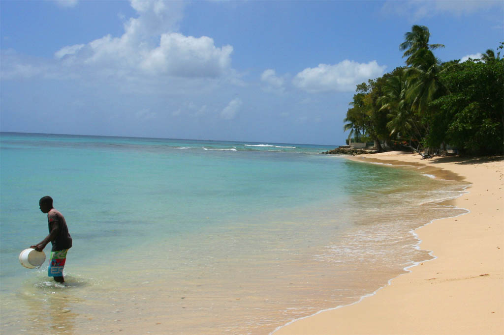
After leaving Port St. Charles with no way to see the private artificial beaches, we continued on the road along the coast to the south and passed-by a public natural wild beach.
| A wild public beach
|
| for the locals
|
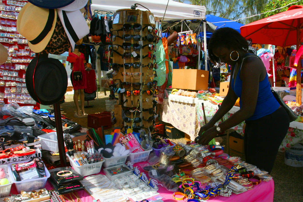
Then we drove through Speightstown. It's the second largest city on Barbados. But not much interesting sights to see even if it had an interesting history. Right after Speightstown we hit a place which was a better vacationer's beach, the Mullins Beach, with all the amenities like many water toys. After that we stopped at a poor fishing village, with a nicer beach though. Take a look at following photos with my comments.
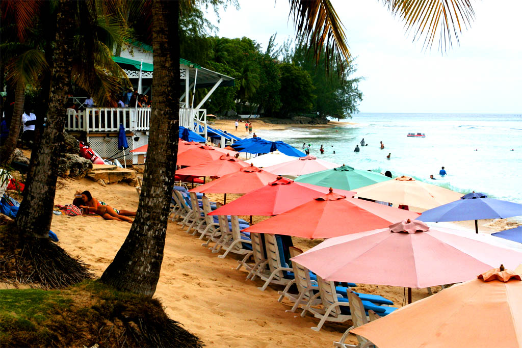
| The Mullins Beach, a vacation resort
|
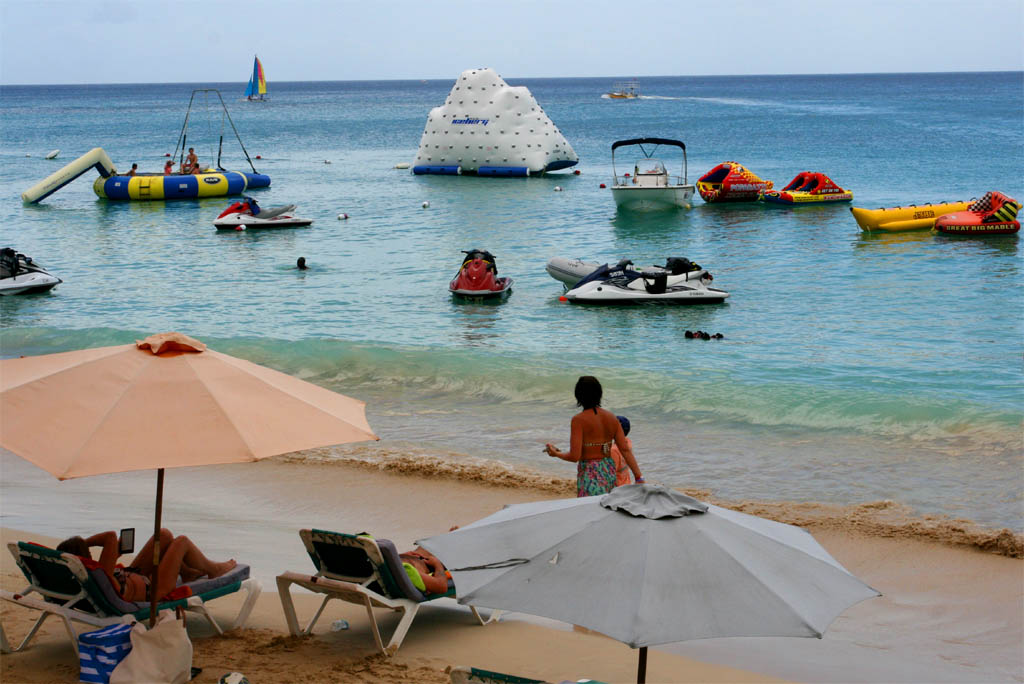
| for middle income westerners
|
| I rather prefer a beach like this
|
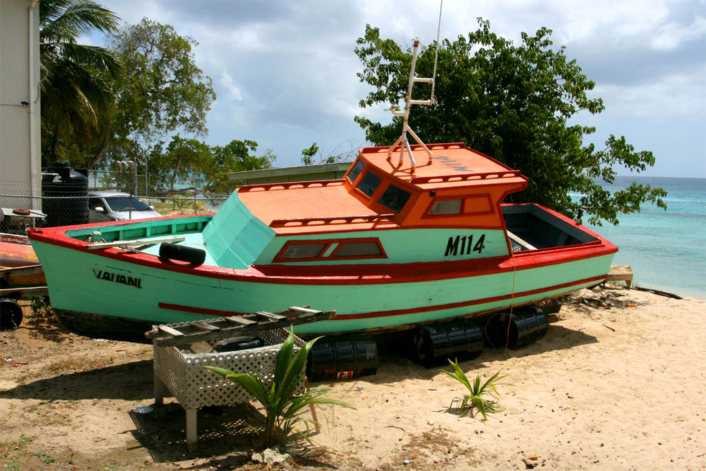
| beside a poor fisher village
|
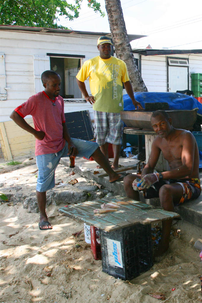
| But the fishers didn't catch many fish and only small
|
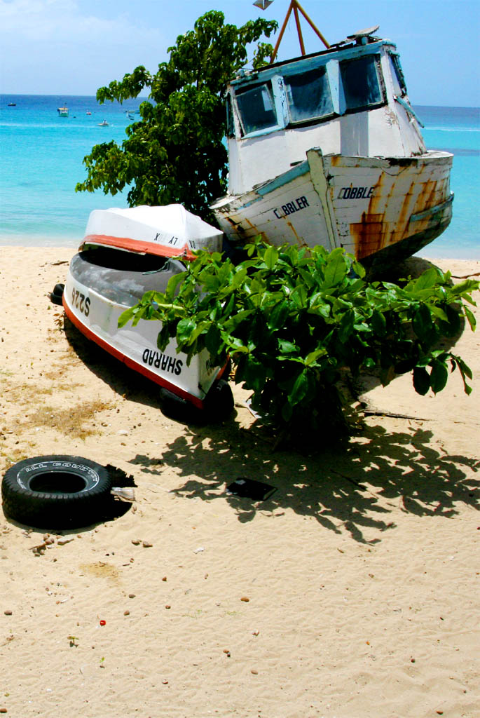
| How can they fish with boats like these?
|
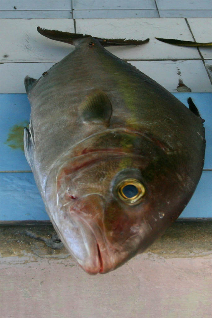
| You can buy bigger fish in the market
|
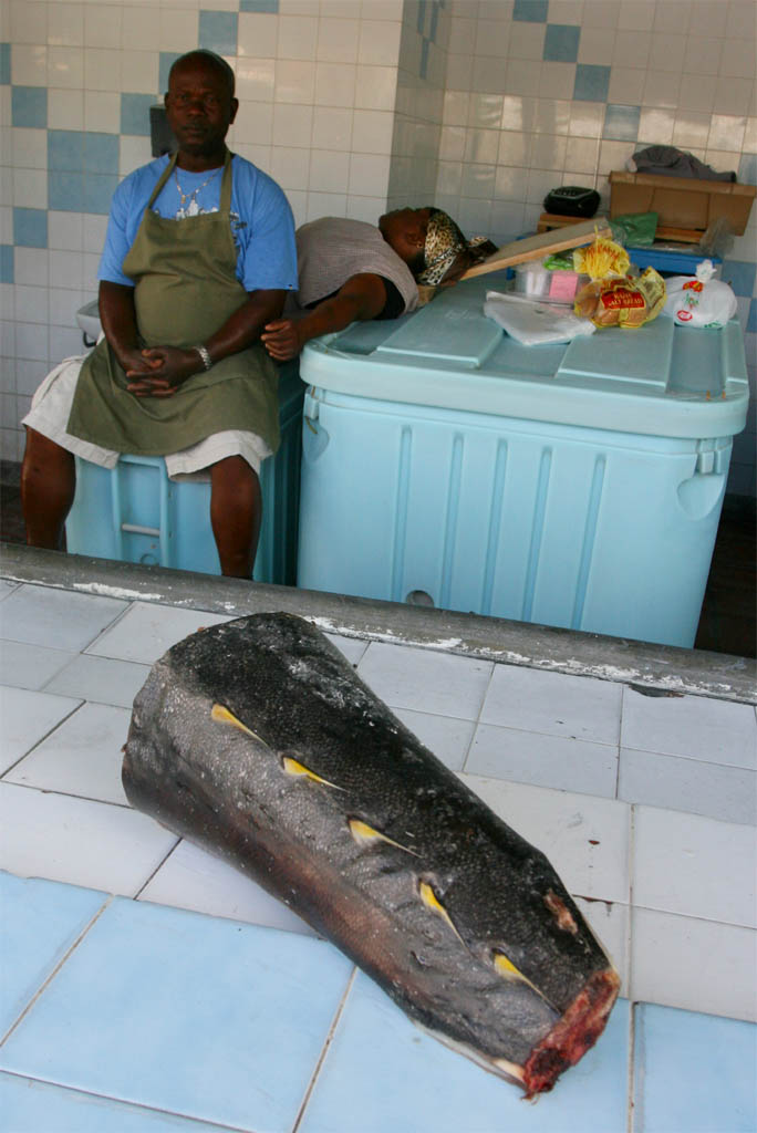
| But where are the customers?
|
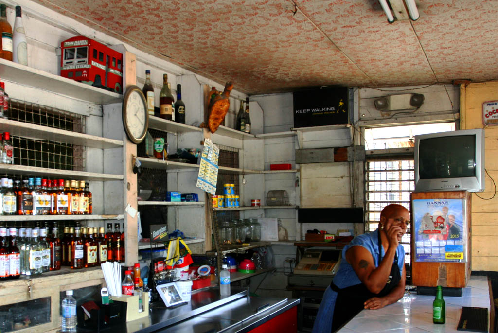
| Also no customer is in the pub
|
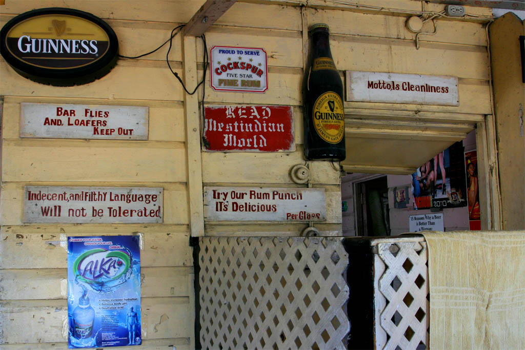
| May they have ran out of rum punch and guinness?
|
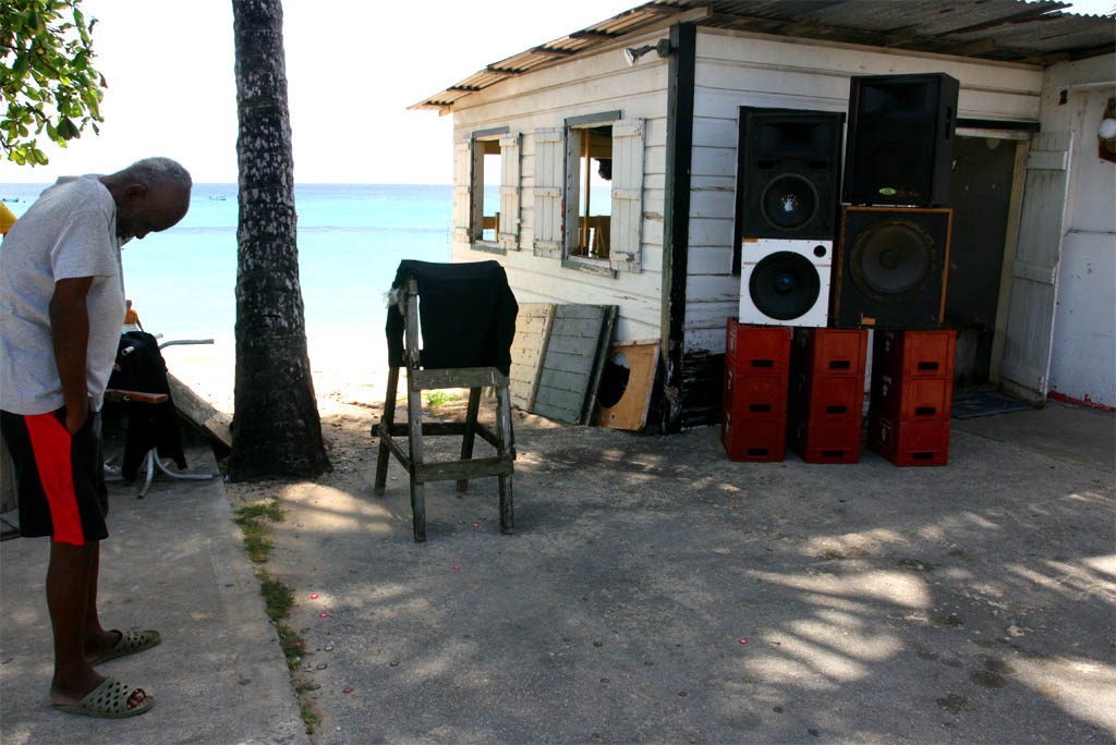
| Because this drunk guy drank it all
|
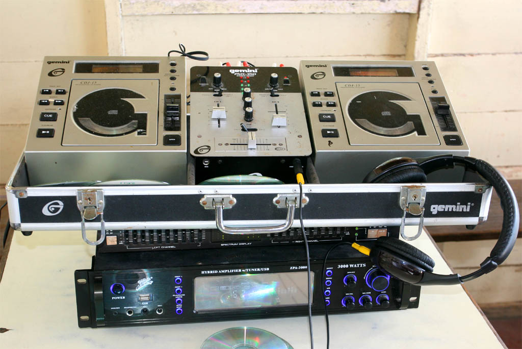
| undisturbed by the ghetto blaster's sound
|
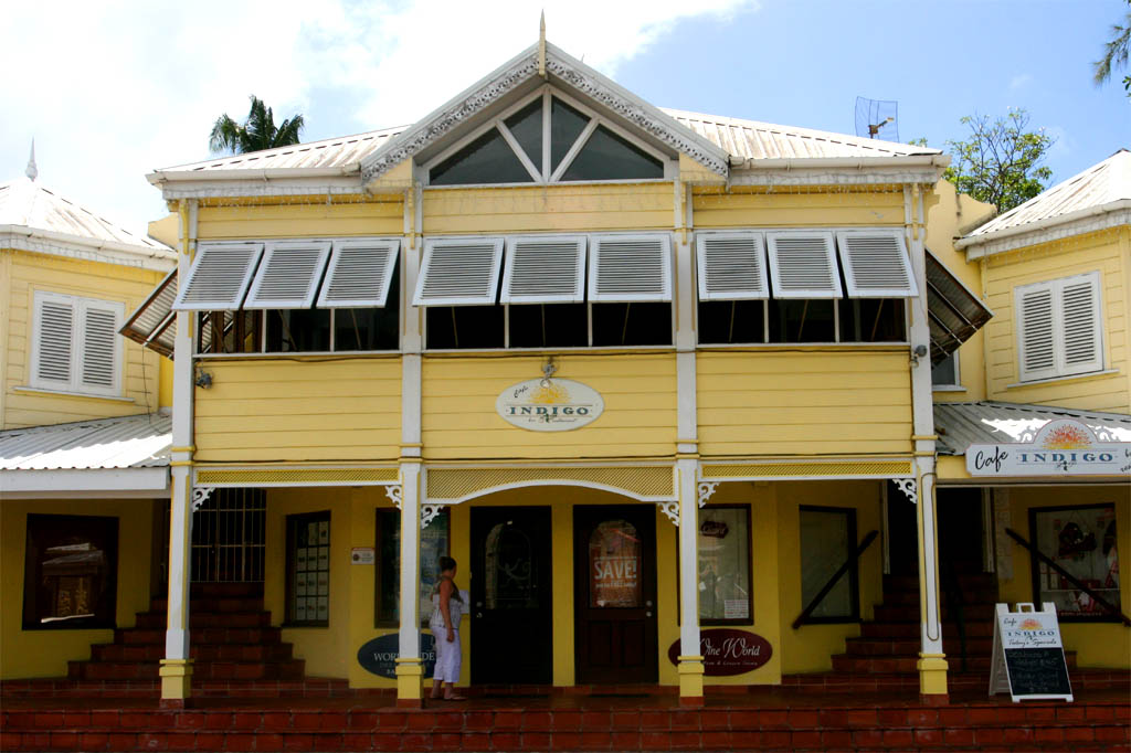
Next stop was in Linegrove, located in Holetown. What a difference now between the previous place, the fisher's village, and this one. The difference between poor and rich.
Linegrove is dubbed by London’s “Daily Telegraph” as “the most stylish place to shop and dine” on Barbados, provided you have enough money. Holetown itself was founded as Jamestown in the year 1627 when the first British settlers arrived on Barbados. Not much is left from that time.
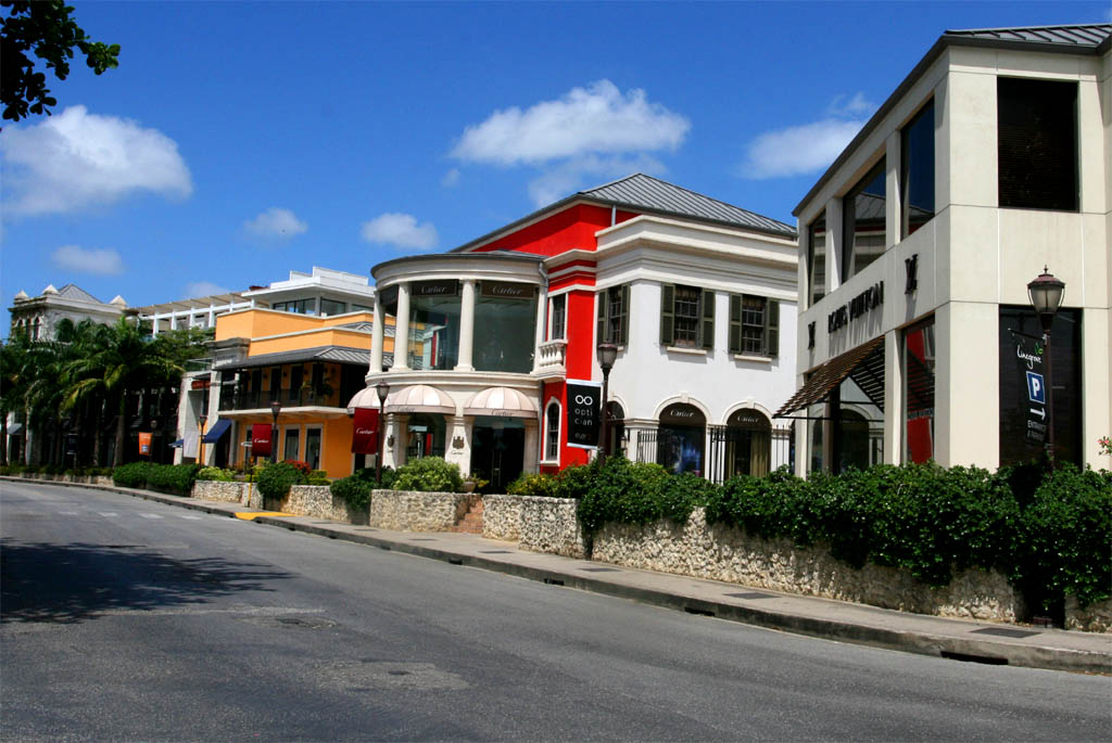
| What a contrast is this neighbor-hood
|
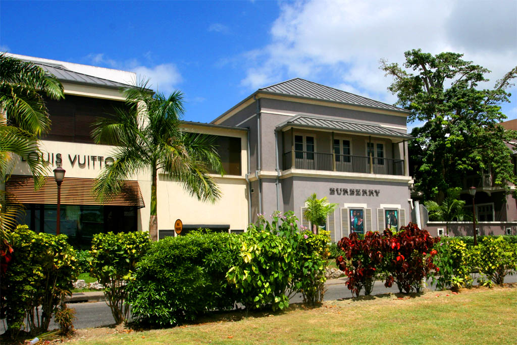
| with Louis Vuitton and Burberry shops
|
| An old English church in front
|
| A nice boutique opposite
|
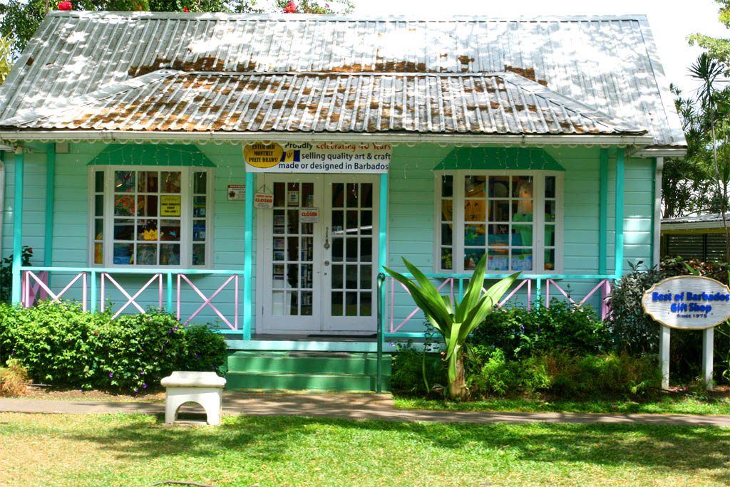
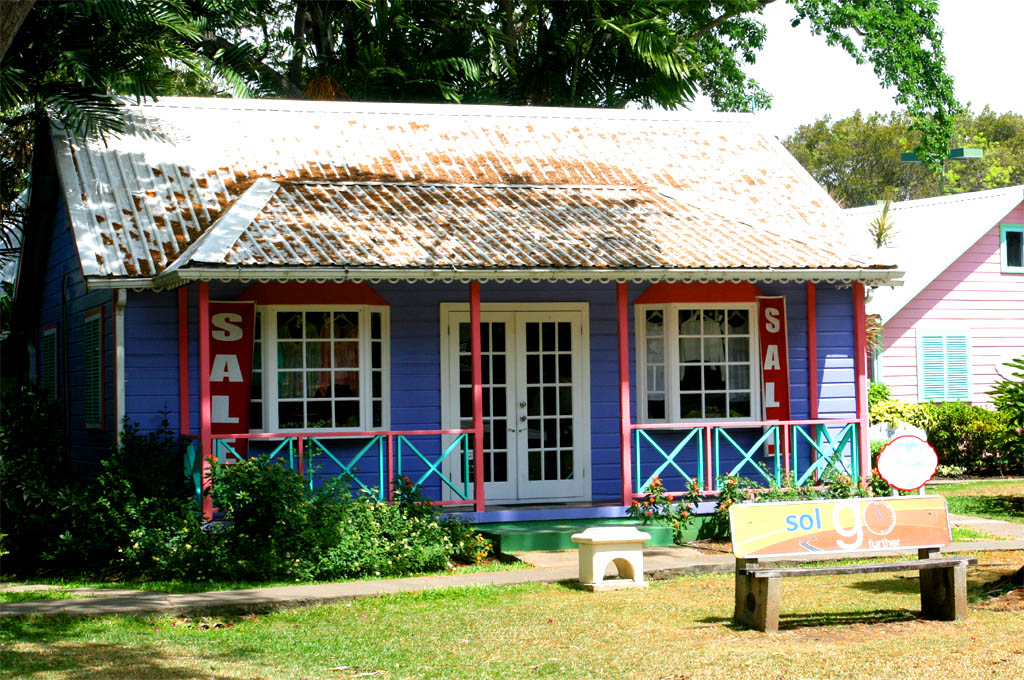
| An art and craft gift shop
|
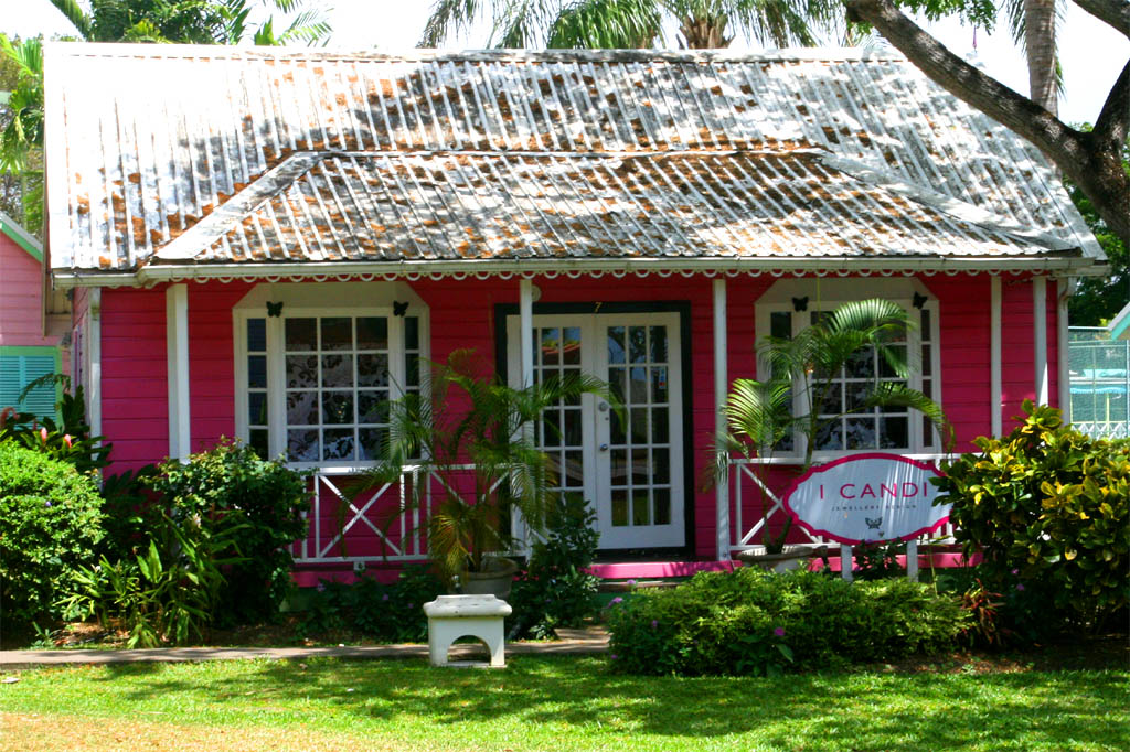
| A jewelry design shop
|
| A nice cafe to relax
|
| Want to live here and buy this house?
|
After the last stopover we were heading back to the pier of our "Summit" while we passed the Kensington Oval stadium, the venue of the final Cricket World Cup in 2007, and finally the Deep Sea Harbor with old sugar loading units. The economy had been dependent very much on sugarcane, but it had dwindled since the 1980s.
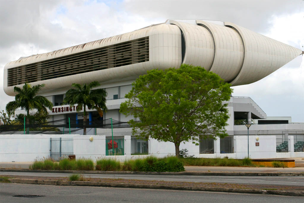
| The Kensington Oval stadium
|
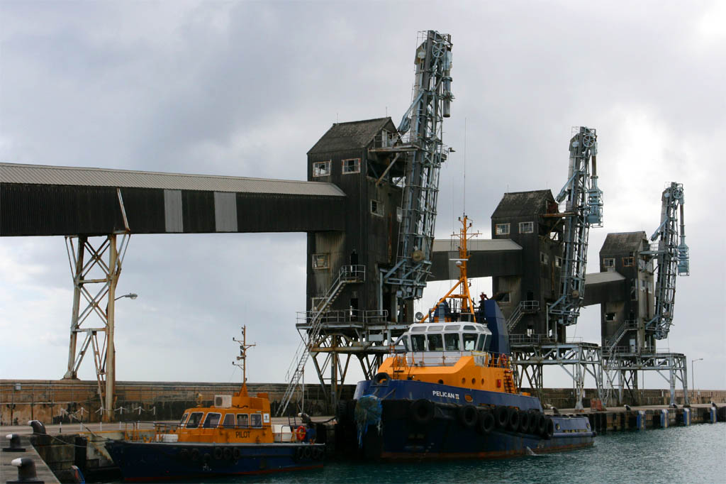
| The sugar loading units
|
That's it. Not much but all what you can do in a day between 9:00 a.m. and 5:00 p.m. Since we did get back just in time we didn't have the time to stroll through Bridgetown. We always try to leave our arrival city right away in order to get around the island first to be on the safe side to reach our ship before the scheduled departure. It gets very expensive if you miss the ship. One white lady told us that it once happened to her. She even was jailed and mistreated, because she didn't have the right documents, whatsoever, with her. Eventually she was able to fly out (I don't remember that she named the island).
Here at last some brief information about Barbados: The Spanish or Portuguese discovered it and named it the island of the beards, that's what Barbados means. Not because of the beards of the indigenous indians but maybe from the fig trees with their hanging roots looking like a beard. From the arrival of the first English settlers in 1627–1628 until independence in 1966, Barbados was under English rule. It has now 285,000 inhabitants, of which 90 % have African roots and the rest are mainly of British and Irish origin.
It's a constitutional monarchy and parliamentary democracy. The Queen Elizabeth II is still head of state and is represented locally by the Governor-General. The head of government is the Prime Minister. The House of Assembly has 30 members.
English is the official language.
The currency is the Barbados Dollar (BDS$).
The exchange rate is 2.00 BDS$ for 1.00 USD. But there is no problem to pay in USD, but be careful not to mistake BDS$ prices as USD.
All of the previous information are very brief, just to give you an idea of what kind of island Barbados is.
If you want to know more about the places we have visited and more about politics, economy, etc. then look up any guidebook and the internet.
|