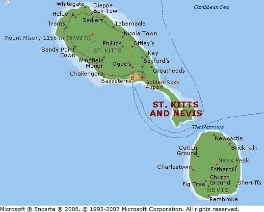
The next Caribbean island we visited was Saint Kitts. We arrived early in the morning in Basseterre, the capital of Saint Kitts and Nevis, the sister island.
Again: We always tried to get from the ship as early as possible to have most of the day for the land excursion. We were usually ready for breakfast at 7:30 at the latest in order to be ready to get from board at 8:00 a.m. I ate proactively enough to last for the whole day, even if it was not my time for a heavy breakfast. Having lunch on the island means less time for sight-seeing and it saves money.
As soon as we did get from the ship we were looking for a taxi. There were many drivers offering trips to any place on the island or an island roundtrip. I have to mention again: The advantage is that you can determine yourself where you want to go and where you want to stop and for how long. I had read about the best places to visit in my guidebook just before we arrive. By the way, all the taxi drivers also acted as a guide by explaining the sights and answering all our questions.
And the costs are less than if you would have booked an excursion package on the ship. They offered land excursions lasting up to 3.5 hours for 59.75 USD per person. With a taxi you were able to see more and you also were always ahead of the slowly crowd. However, the ship offered more than just a land excursion: About 23 more activities you can choose from like diving, snorkeling, sailing, kayaking, dolphin riding, quad biking, helicopter flying, train riding, golfing or just swimming at a beach with prices ranging up to 299.75 USD.
We made a deal with the taxi driver Sam for 80.00 USD for the two of us. However, later on during the trip we paid another 20.00 USD for an additional extension of our previously agreed itinerary.
Remark: The photos on the right side may not be correctly adjusted if you use Mozilla Firefox or Chrome. I propose to use the Explorer or Edge of Microsoft instead (even if most people prefer the others).
Click the small picture to get it enlarged
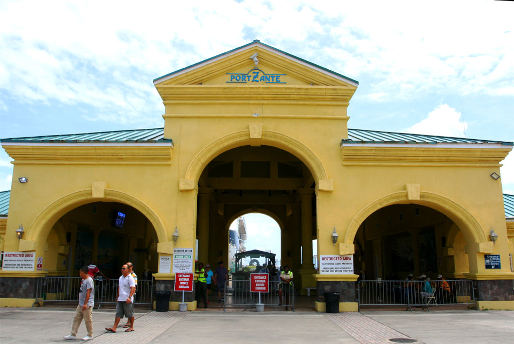
| The entry to the pier
|
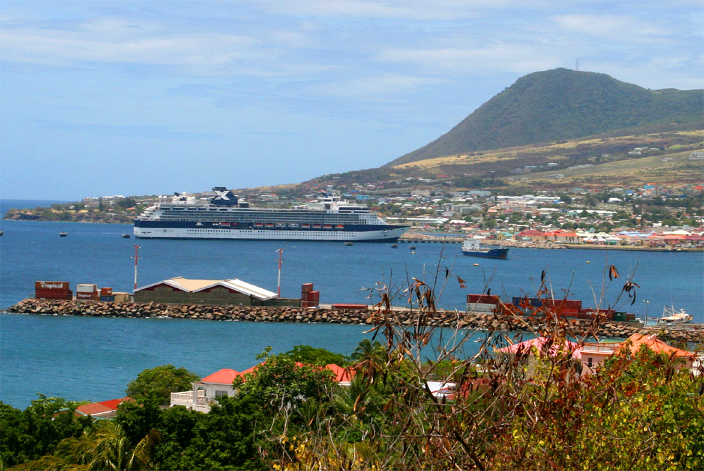
| Our "Summit" at the pier
|
After we left Basseterre we hit the first historical place: The Blood River, where Amerindians were massacred by British settlers in 1626. Read for yourself the plaque as shown below.
| First we hit the most bloody spot in history
|
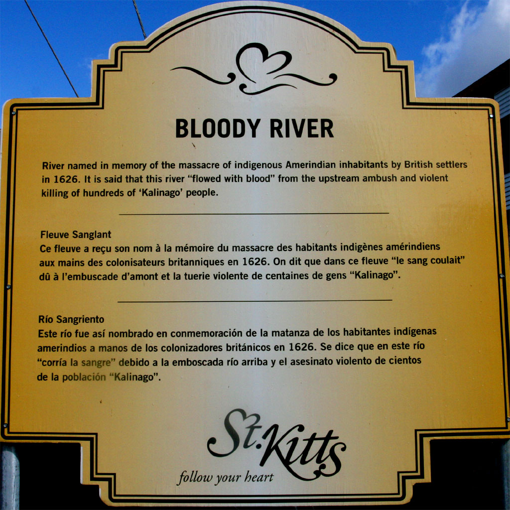
| The Bloody River: Read for yourself
|
The next destination was a highlight: The Botanical Gardens and Caribelle Batik at Romney Manor. Unfortunately this place also had the same terrible historical background as the bloody river.
A Sam Jefferson "took over" the land from an Carib Indian chief after the massacre. He was the great, great, great grandfather of the third president of the United States, Thomas Jefferson, according to the plaque as shown a little down below.
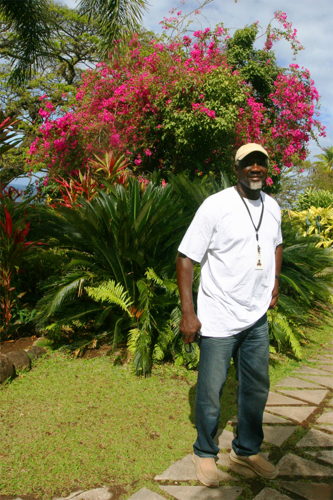
| Our driver Sam brought us to this beautiful place
|
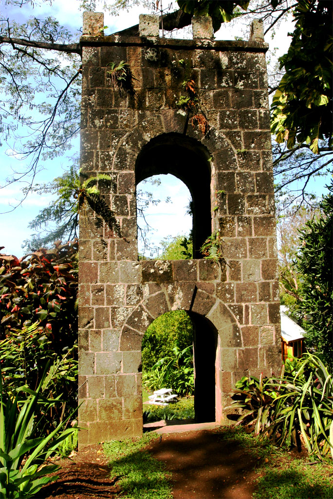
| with an old tower in the middle
|
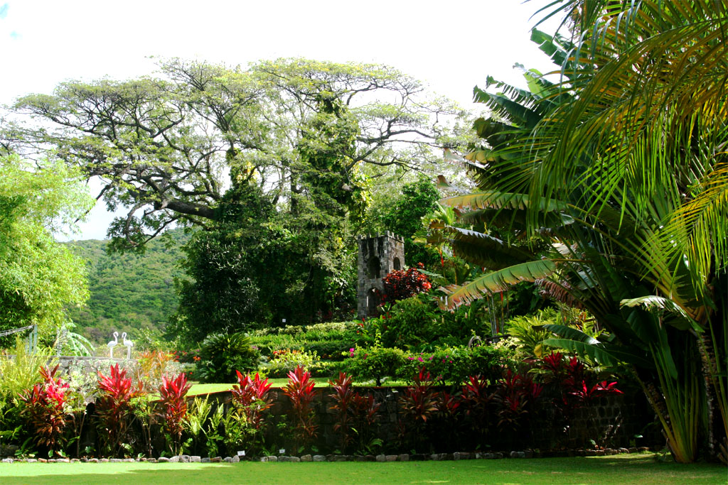
| It's a nature garden
|
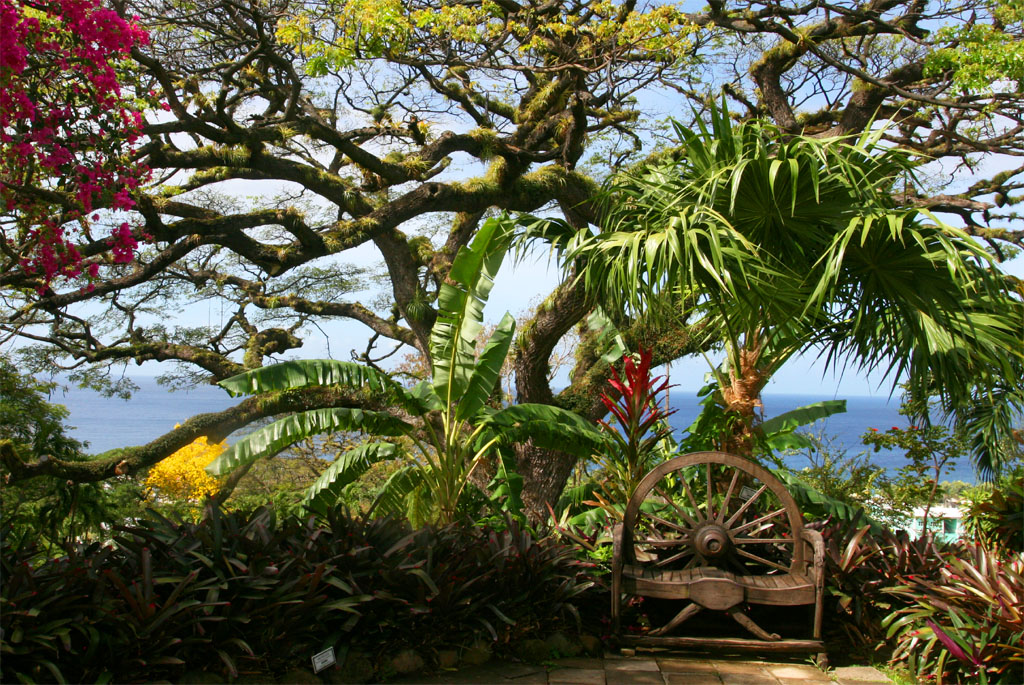
| with many tropical trees
|
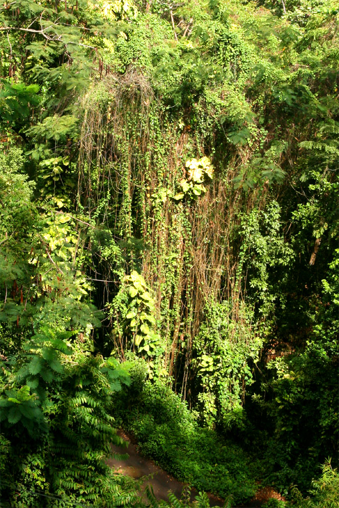
| It's a nature park
|
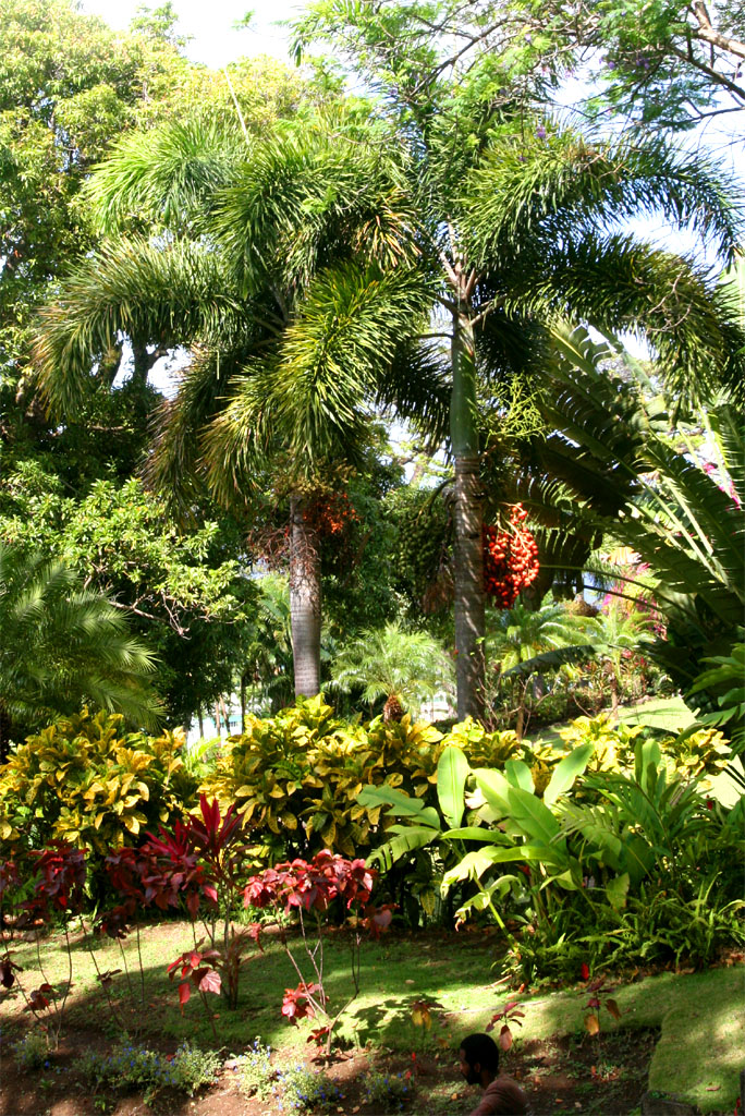
| with many tropical plants
|
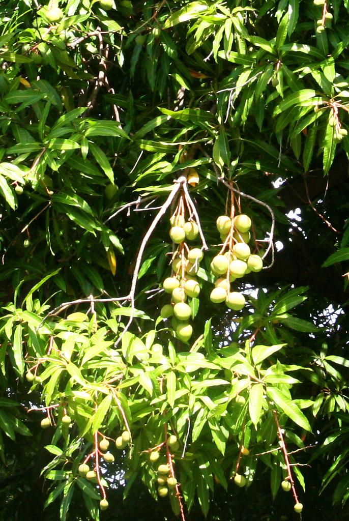
| And many fruits
|
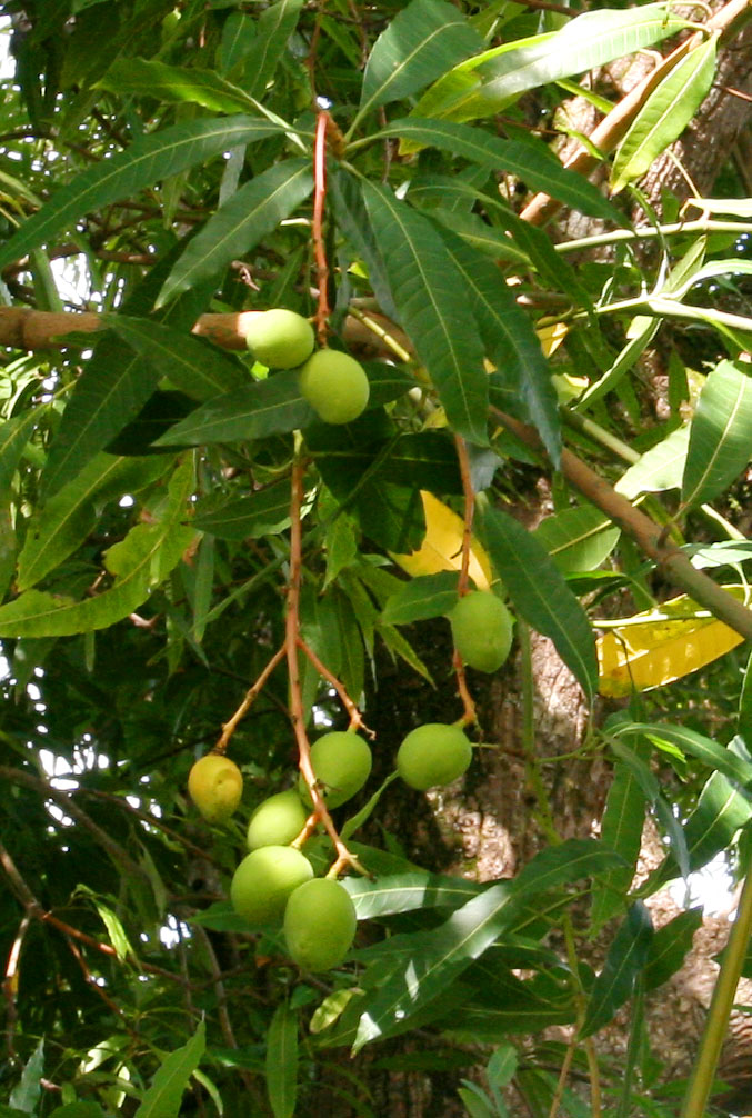
| like these Frangipani
|
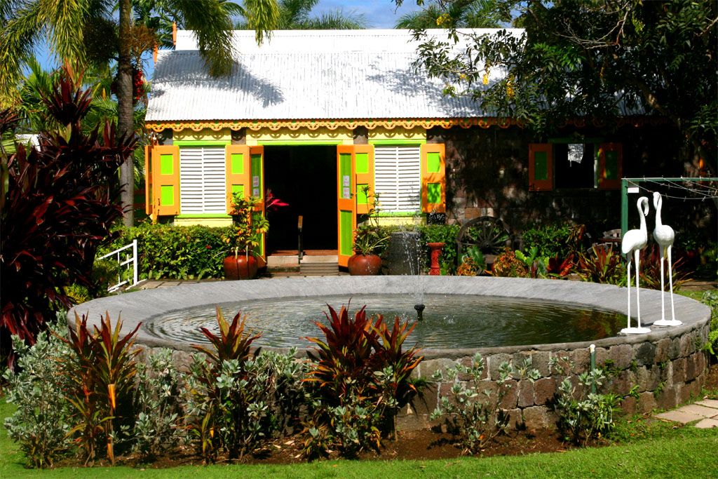
| This all is part of Romney Manor
|
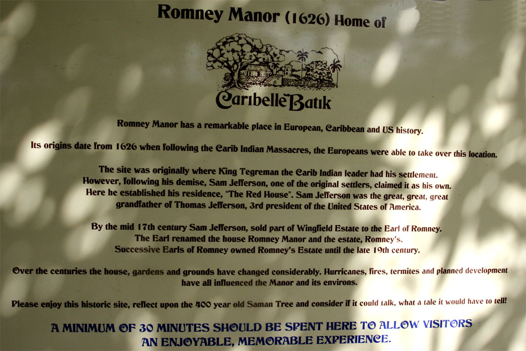
| Read how this place has changed during the centuries
|
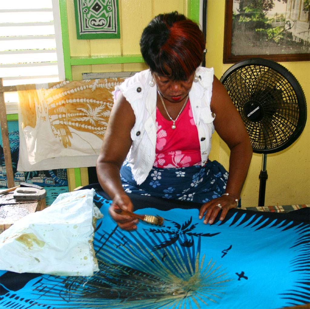
| Now it's the home of Caribelle Batik
|
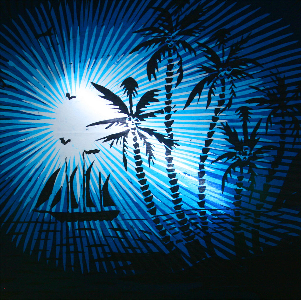
| for painting and selling nice Batiks
|
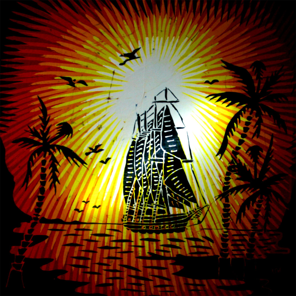
| Indonesian technique
|
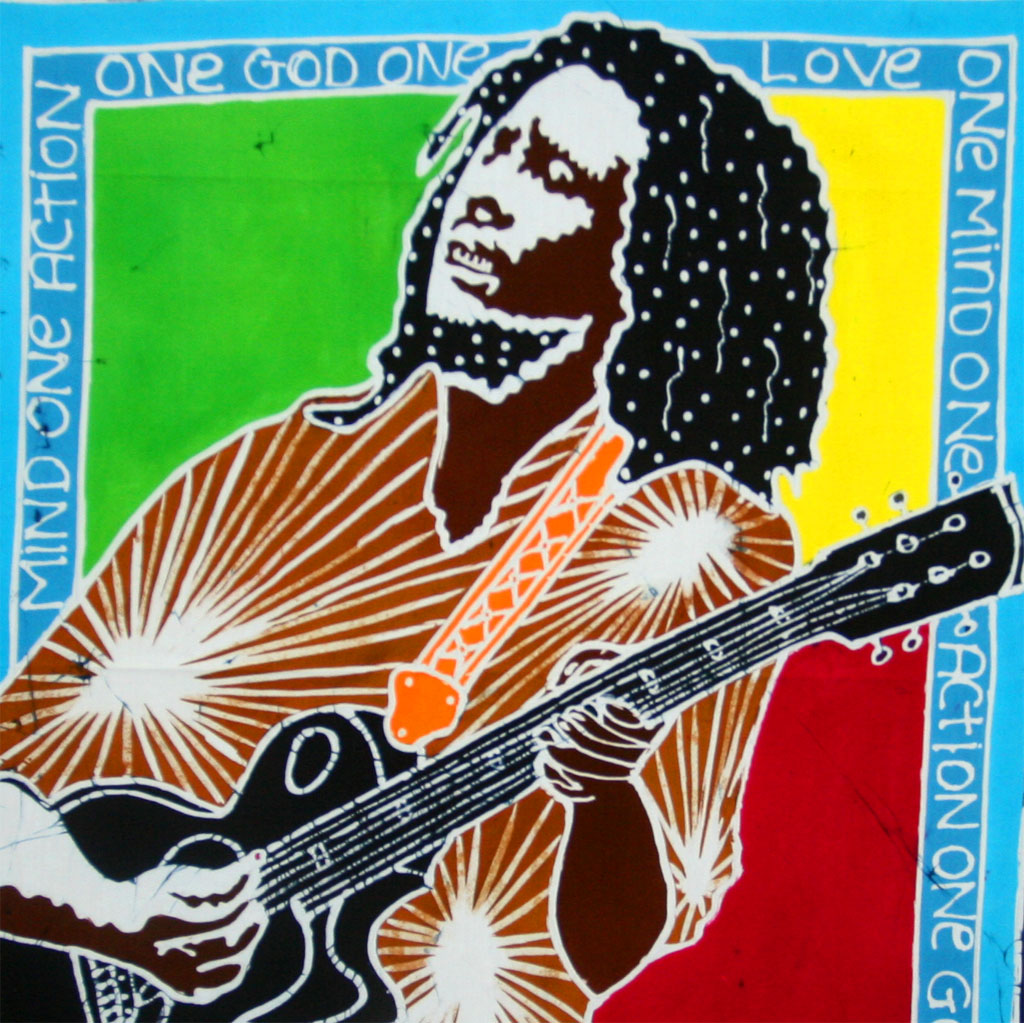
| but Caribbean motives
|
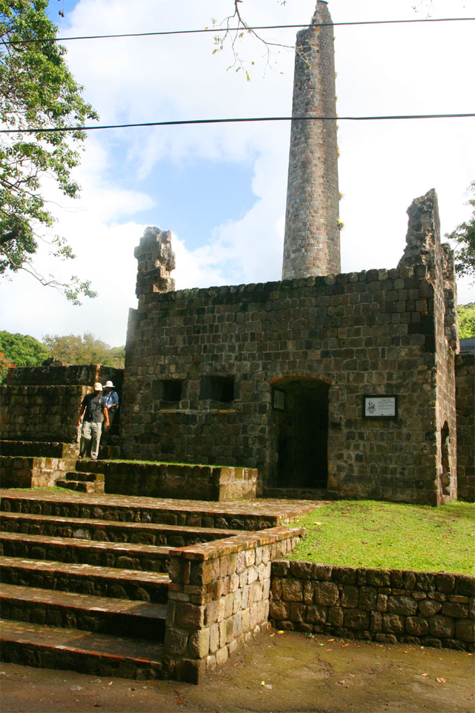
Romney Manor is part of the Wingfield Estate. which was founded in the year 1625 by Sam Jefferson. Now you understand why he took over the land where Romney Manor now stands. The estate was a cotton and tobacco plantation before sugar was planted and processed and eventually a rum distillery was added. Take a look and read the descriptions below.
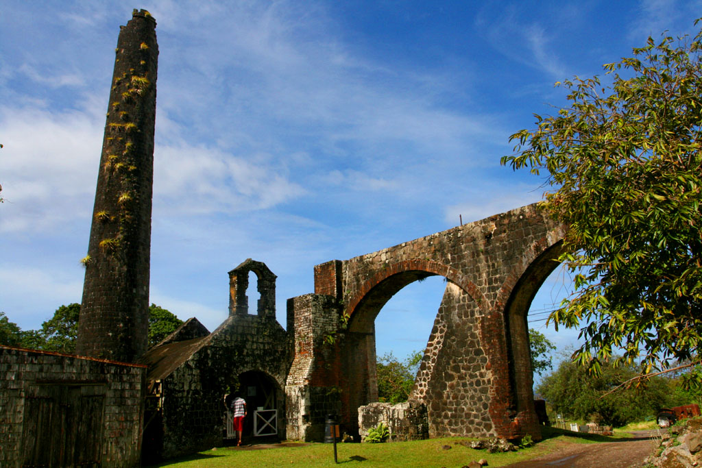
| Now we are visiting an old sugar factory
|
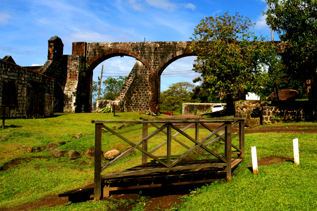
| powered by water coming down the aqueduct
|
| Sorry, I don't know what this was used for
|
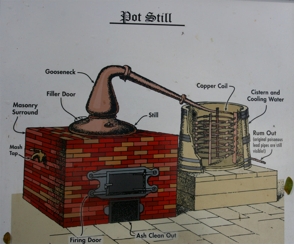
| But this is how to make rum (through poisonous lead pipes)
|
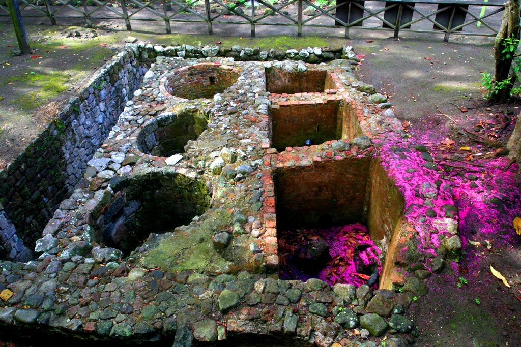
| This is supposed to be the firing tunnel
|
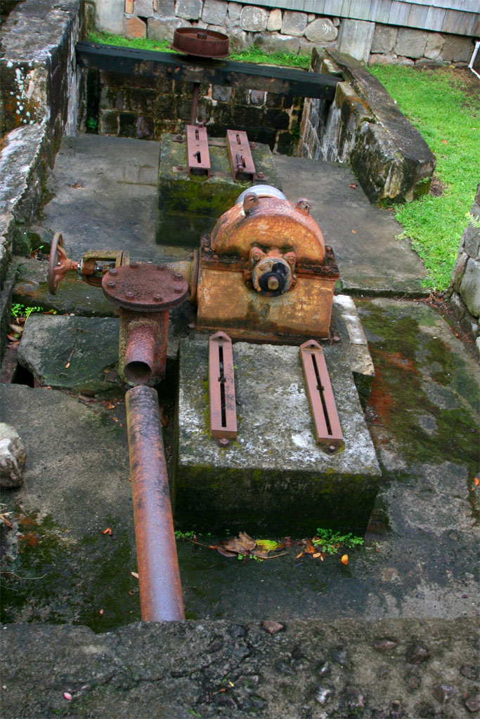
| This may have generated the electricity with waterpower
|
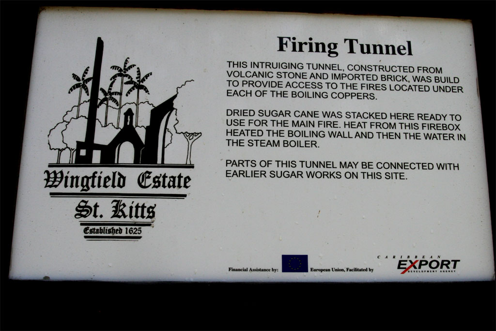
| Here is the description
|
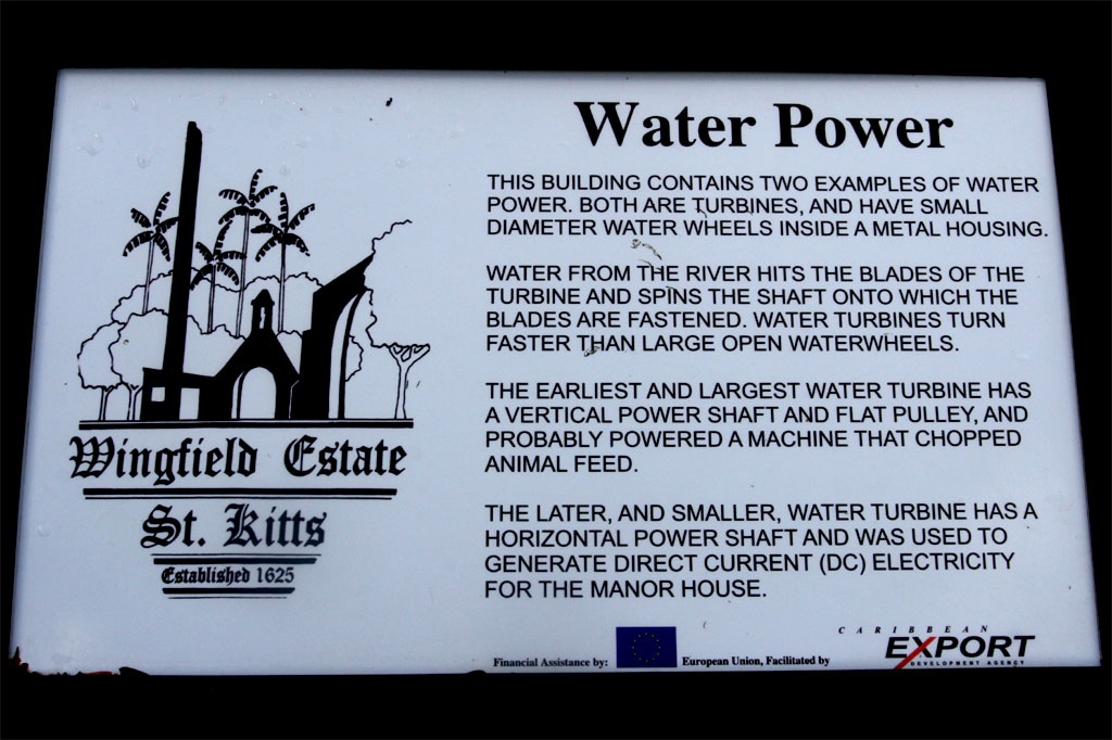
| for both photos above
|
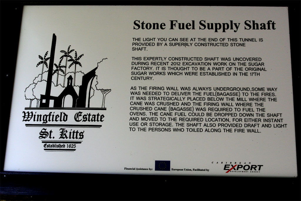
| Another description for a better understanding
|
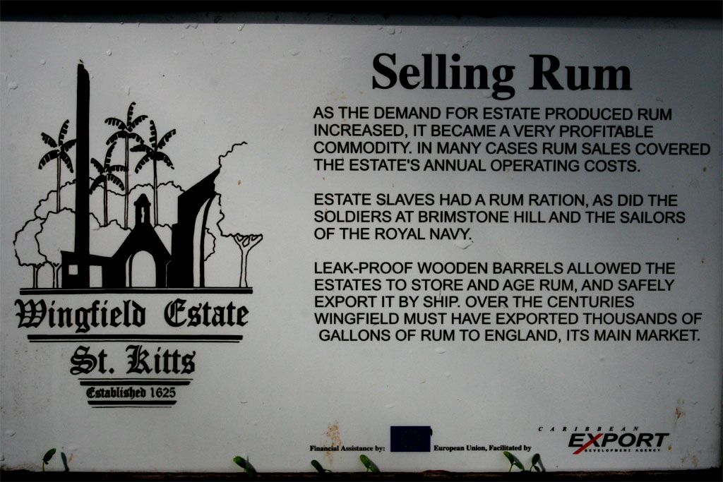
| The process is complicated except for selling and drinking rum
|
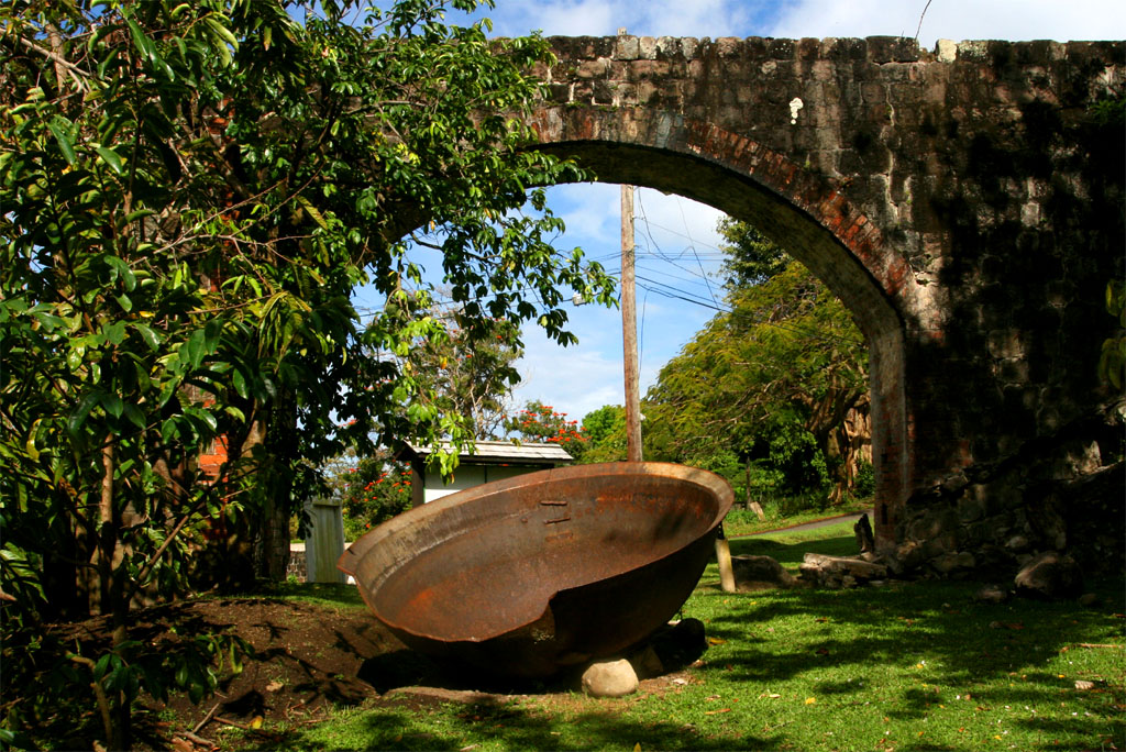
| Some antique remnants are still lying around
|
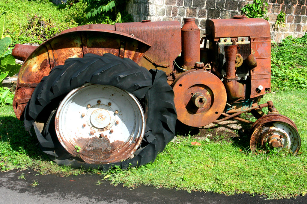
| Also this tractor cannot be used anymore
|
Then we paid a visit to the St. Thomas Anglican Church, which was built between 1625 and 1630. Its cemetery holds the remains of Sam Jefferson, the ancestor of Thomas Jefferson, the third president of the United States, and Thomas Warner, the first English Governor of the West Indies.
The church has been damaged several times in the past by earthquakes and hurricanes.
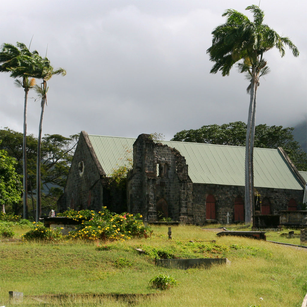
| Next stop: A church
|
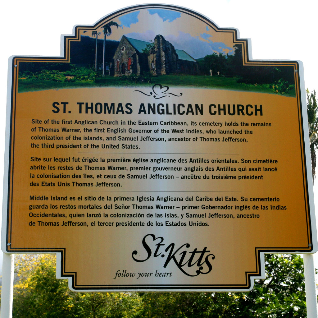
| The St. Thomas Anglican Church
|
The next stop-over was at the most interesting sights on the island: The Brimstone Hill Fortress.
This British fortification was once referred to as the Gibraltar of the Caribbean. In the past several decades the fort has been under significant restoration, and is now a popular tourist destination.
The entrance fee is 10 USD.
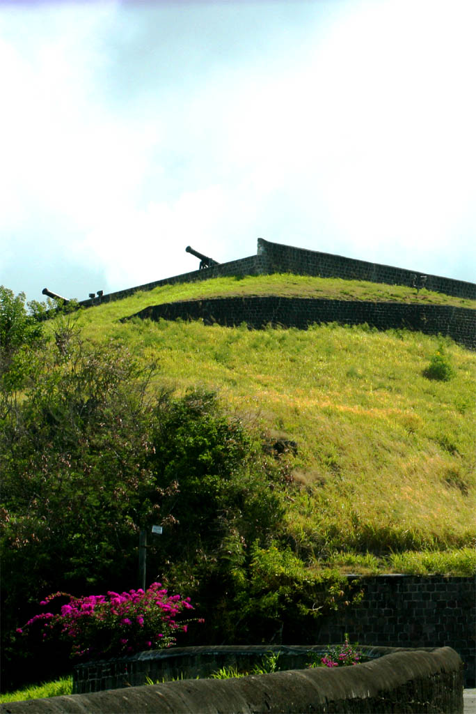
| What is this up there?
|
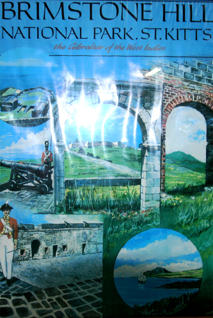
| It's on the Brimstone Hill
|
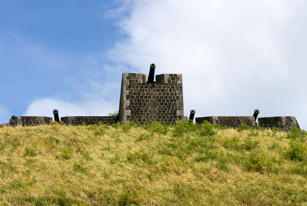
| It's an old fortress
|
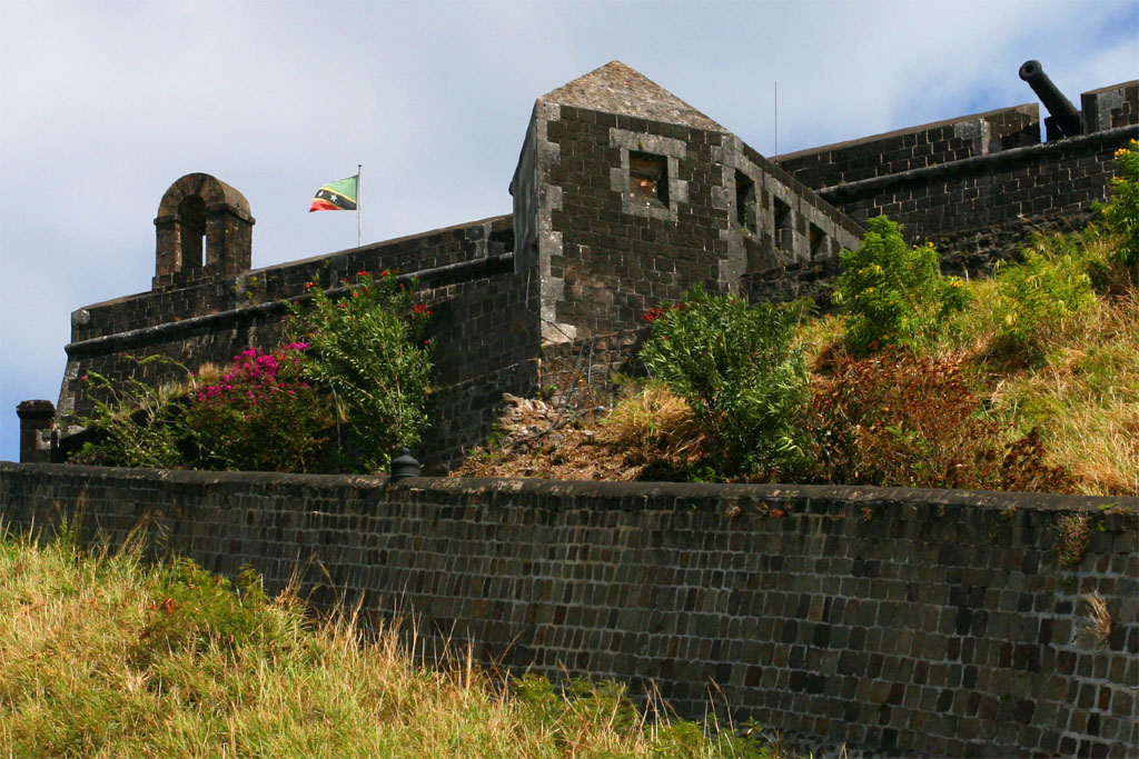
| Let's go up and take a look
|
The first cannons were mounted on Brimstone Hill in the year 1690 by the British. They realized the potential of the hill as a place of defense and fortified it. Though, 1000 British soldiers surrendered to 8000 French soldiers in the year 1782. A year later the articles of the Treaty of Versailles returned the island to the British. The fortifications were continued until 1794. In 1852 British troops were reassigned and the fortress was abandoned.
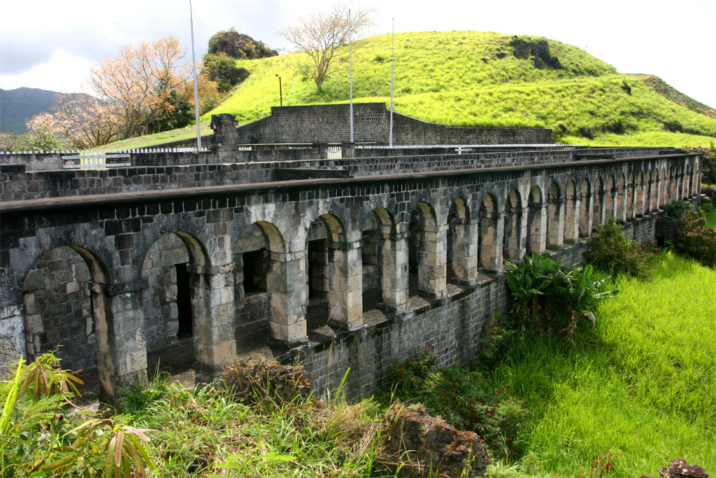
| It's a formidable
|
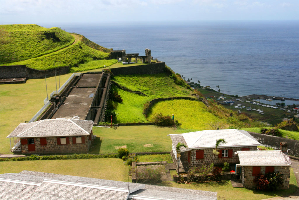
| fortification
|
The Society for the Restoration was founded in 1965 and in 1973 Prince Charles reopened the first complete restoration, the Prince of Wales Bastion. In 1985 Queen Elisabeth II unveiled a plaque signifying Brimstone Hill Fortress as a National Park and in 1999 it became a UNESCO World Heritage Site.
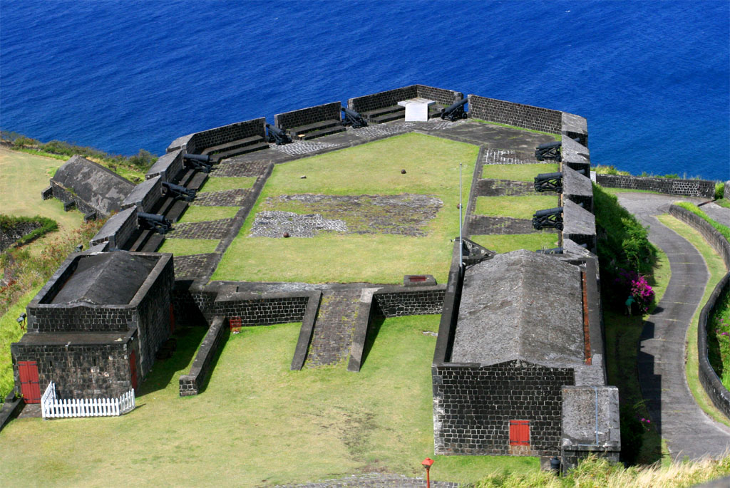
| View of the Prince of Wales Bastion
|
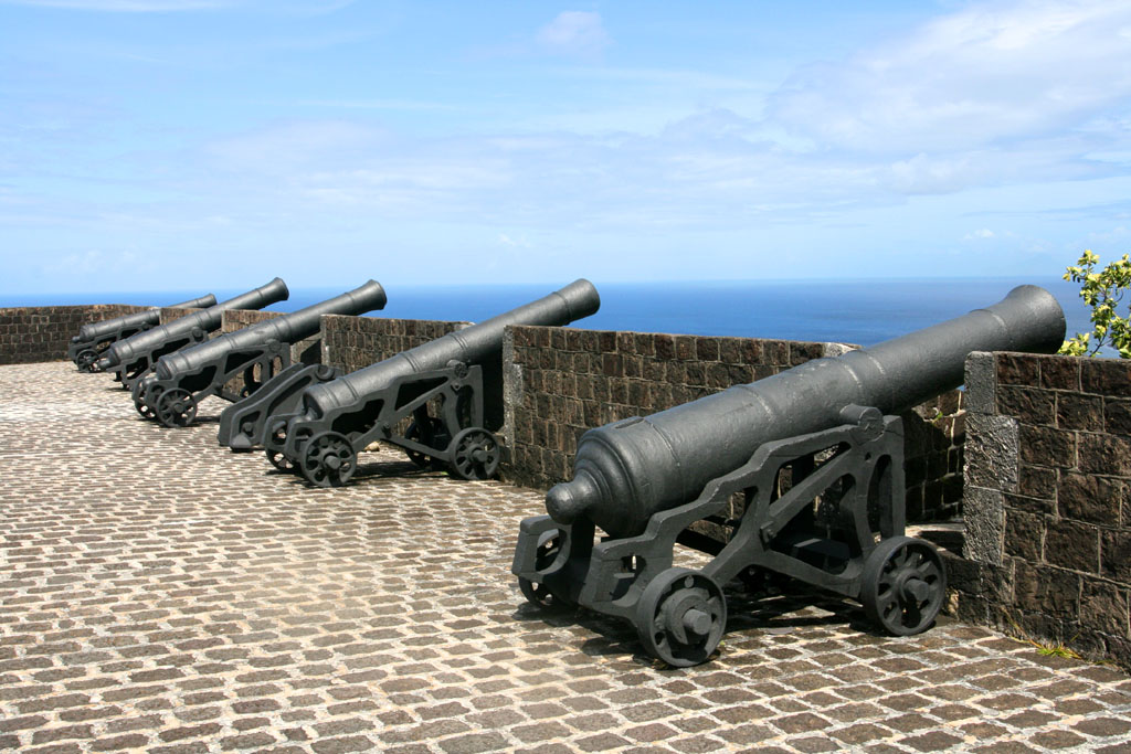
| A row of cannons pointing to the sea
|
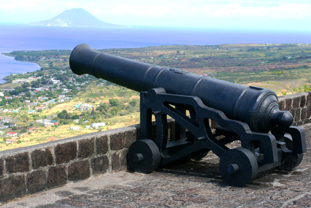
| One of the cannons
|
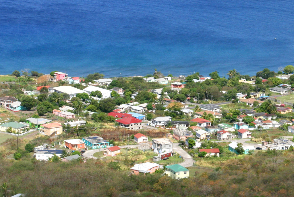
| overlooking the settlement below
|
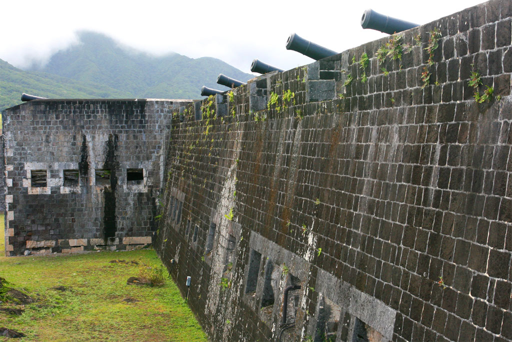
| The whole fortress is surrounded by cannons
|
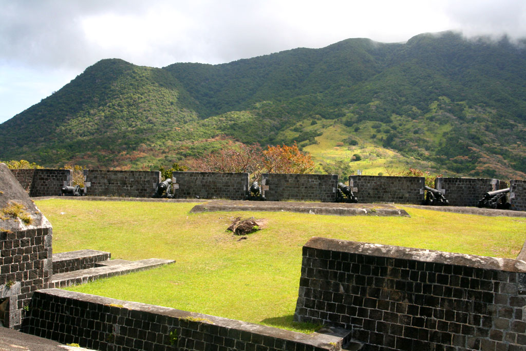
| even pointing to the mountains
|
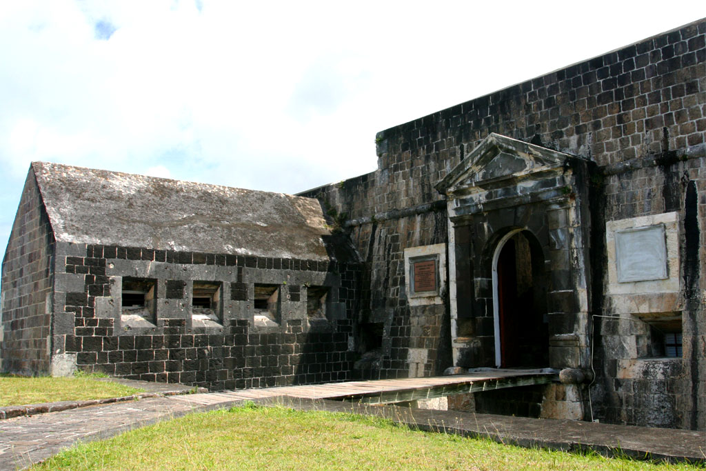
| This is the entrance to the Citadel
|
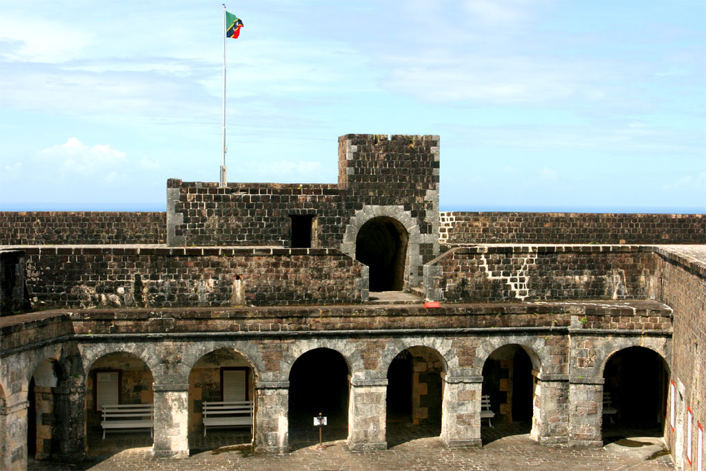
| This is the inside of the Citadel
|
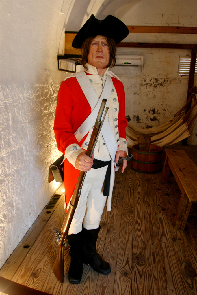
| It's a museum now with puppet soldiers, etc.
|
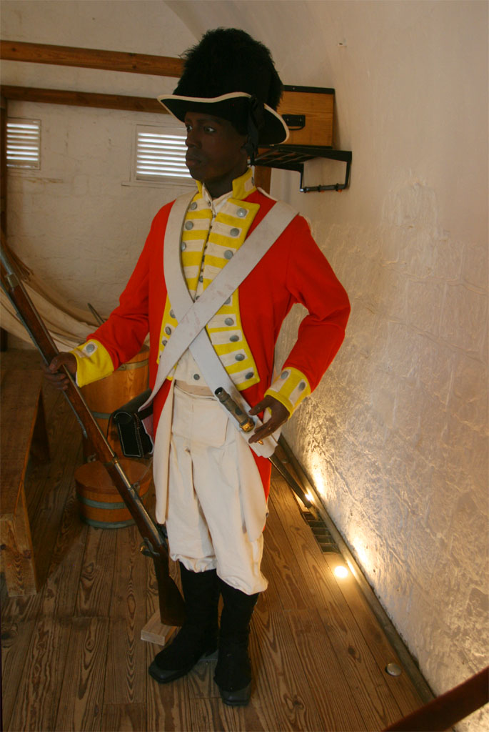
| If a soldier didn't obey the rules, see below
|
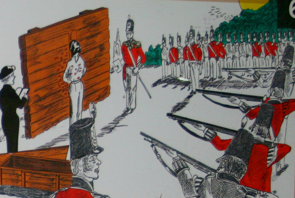
| Death penalty for what?
|
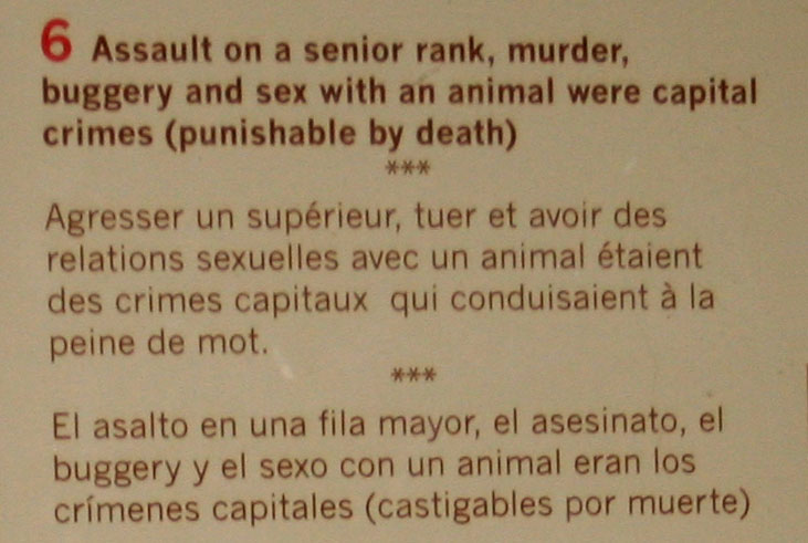
| For crimes as listed here
|
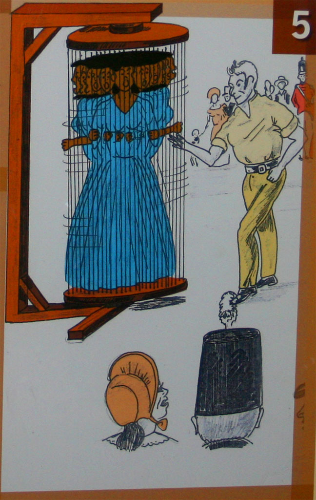
| Lesser crimes like disobedience
|
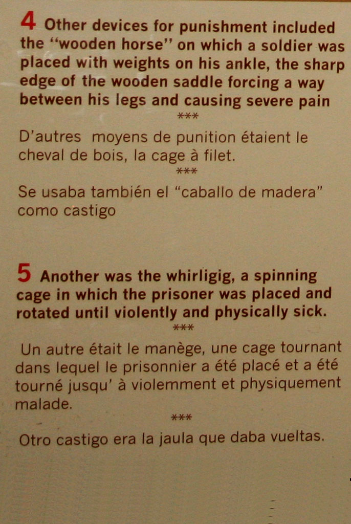
| were punished with these kind of tortures
|
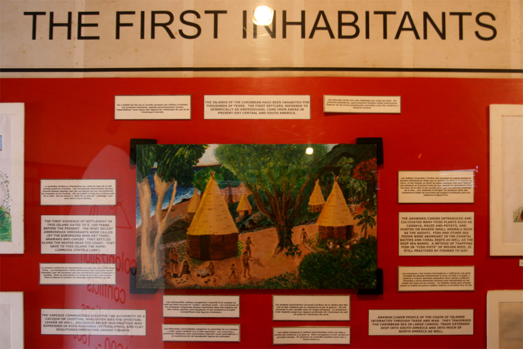
| A short history of the island
|
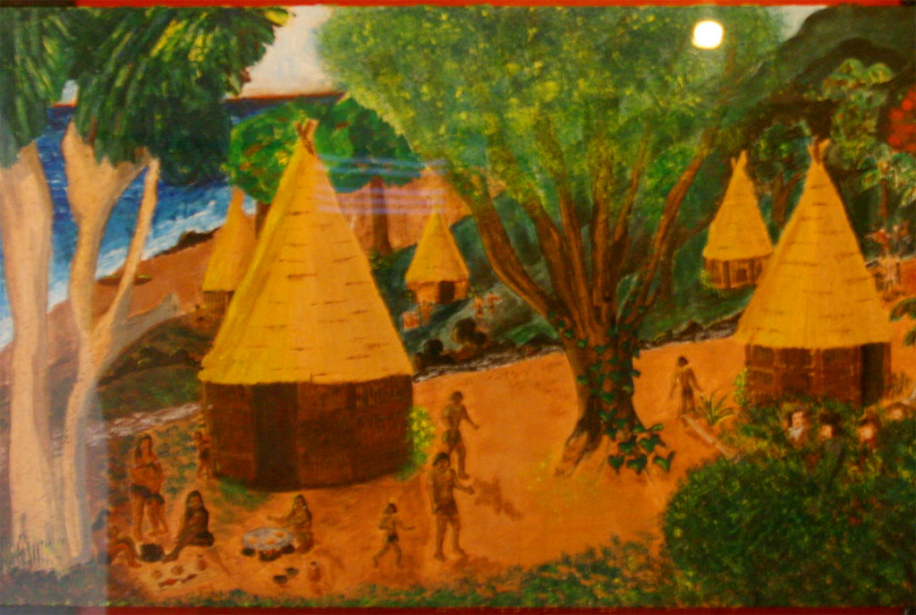
| and how the first inhabitants lived before the Europeans arrived
|
After the fortress we continued on the road along the coast to the north passing through Sandy Point, which is the second largest town on the island of St. Kitts. Not much to see at this supposedly historical site, which is believed to be the original landing point for the English sea captain and explorer, Sir Thomas Warner, who later became the first English Governor of the West Indies.
Right after Sandy Point we saw a nice old church, the St. Anne Anglican Church.
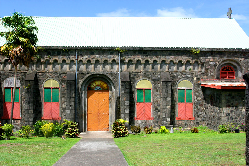
| This is supposed to be
|
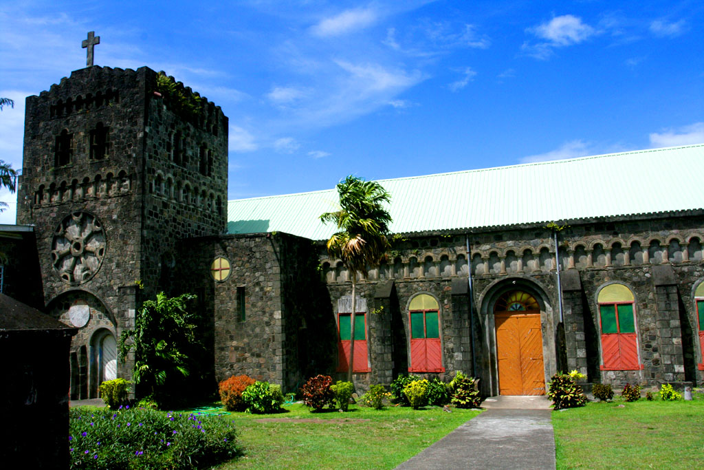
| the St. Anne Anglican Church
|
Then we passed-by the station of the
St Kitts Scenic Railway. Many passengers from the "Summit", who have booked the railway tour for 109.75 USD, were trying to get on the double-decker open-air coaches. It was built between 1912 and 1926 to haul sugar cane from farms to the sugar factory in Basseterre. Now the service is geared more for the tourists. It takes 2 hours and an additional 40 minutes ride by bus to get around the island.
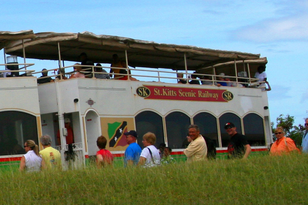
| We didn't take the scenic railway
|
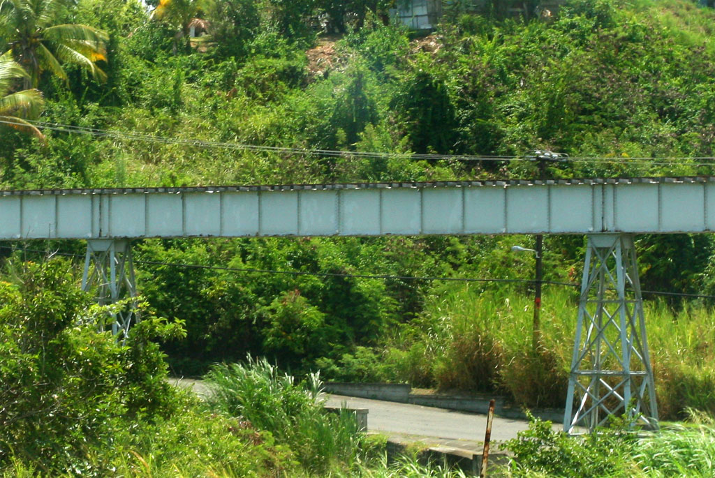
| We didn't want to follow only the track (and with the crowd)
|
We continued driving through the countryside until we hit the Black Sand Beach at the north coast of the island. After that, while driving down the east coast now, we visited the Black Rocks with breaking waves of the Atlantic, where we also had a break.
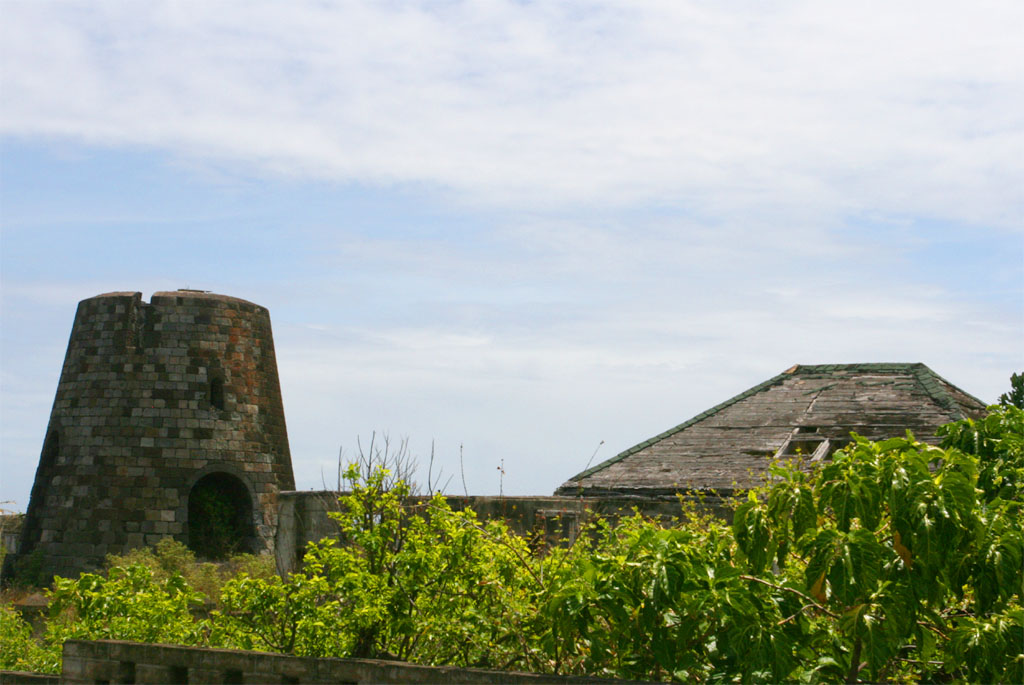
| Passing-by an old sugar mill
|
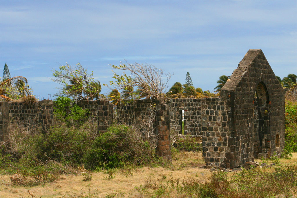
| deserted now
|
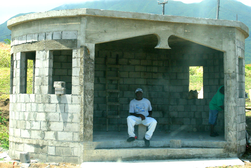
| What kind of buildings are these?
|
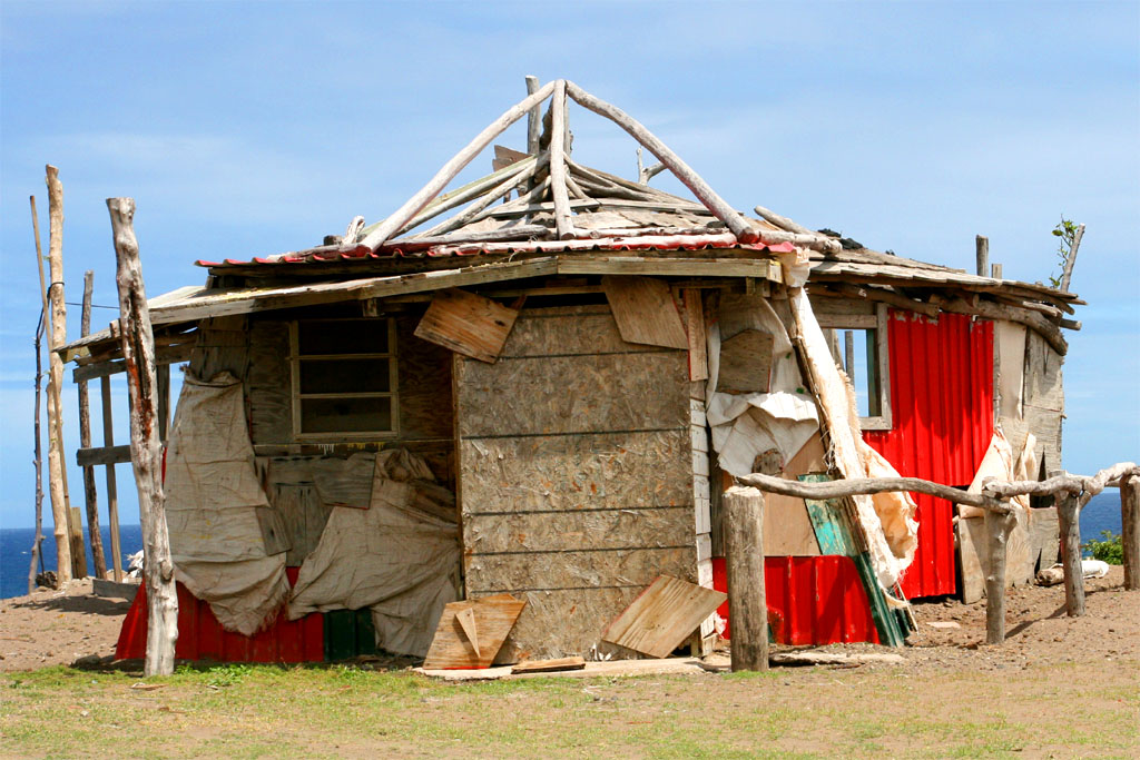
| Waiting sheds or toilets?
|
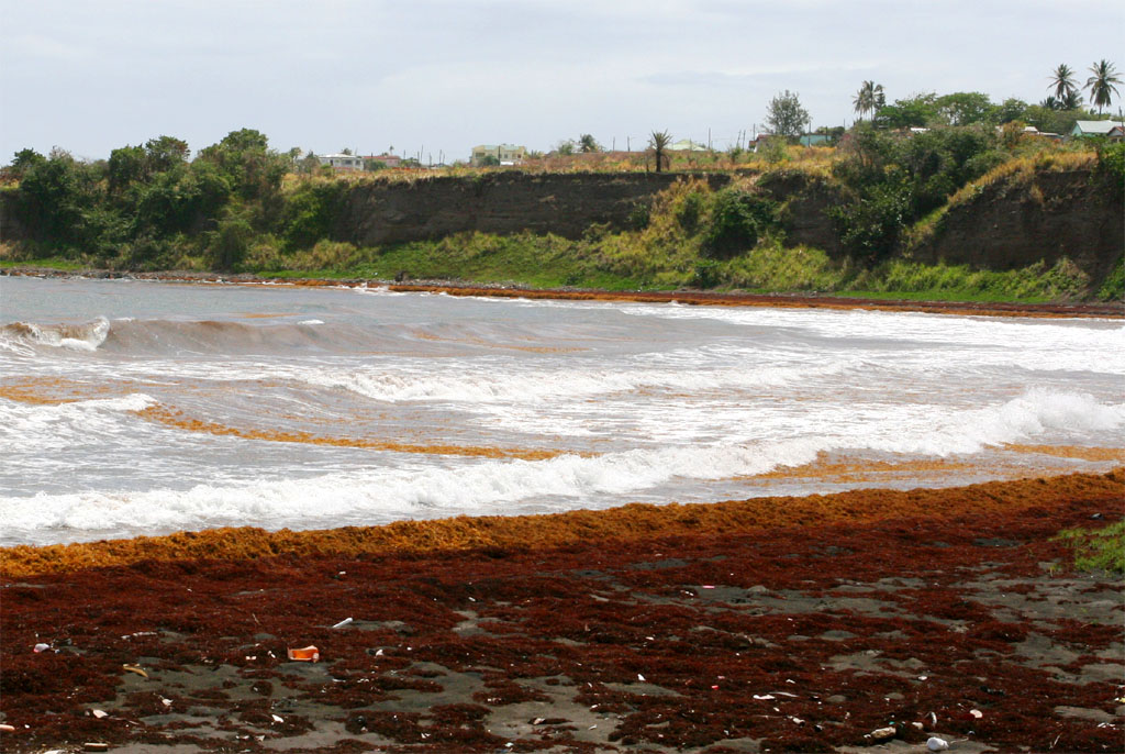
| Finally the Black Sands Beach
|
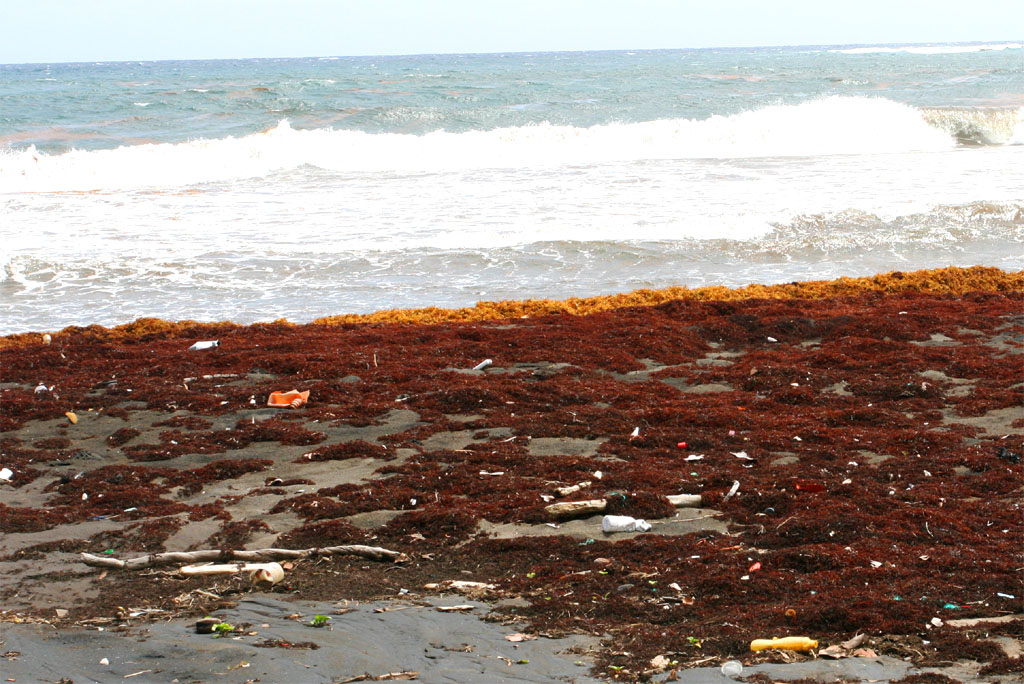
| It's not very inviting
|
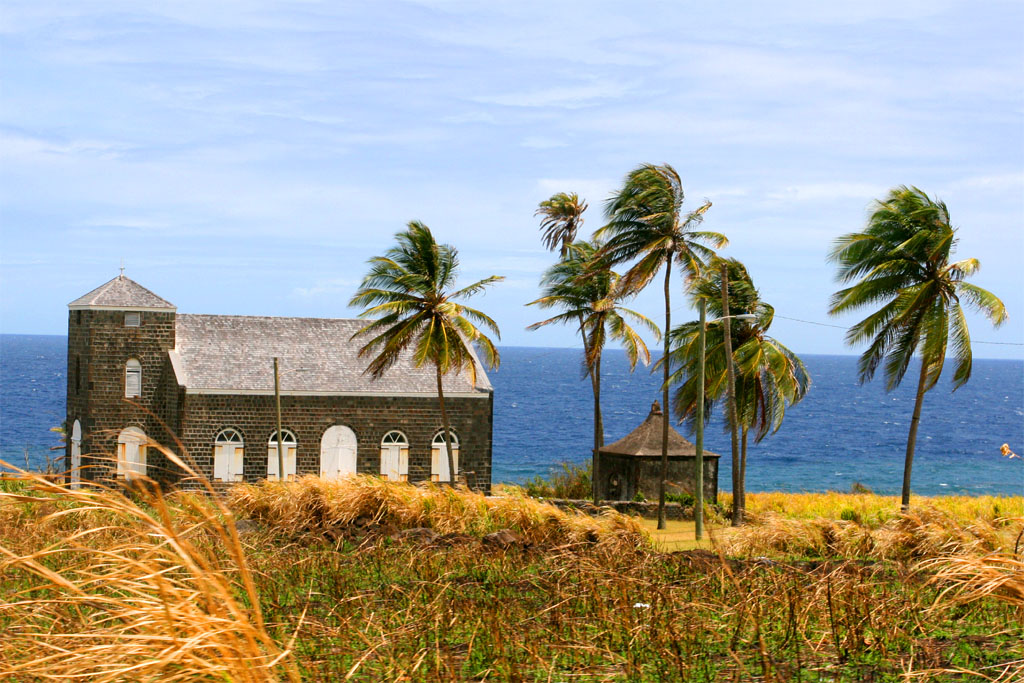
| An old church forlorn in the countryside
|
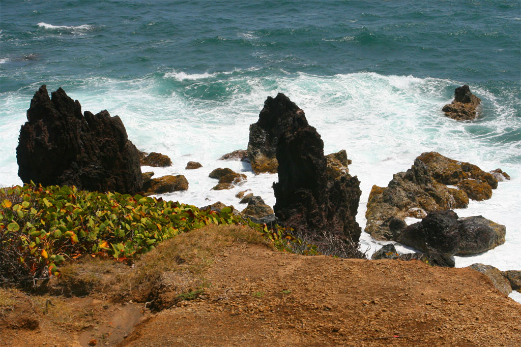
| and close to this rough Black Rocks coast
|
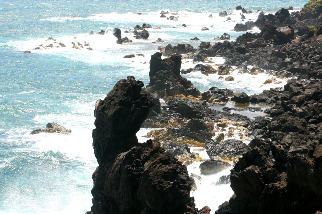
| No place to swim
|
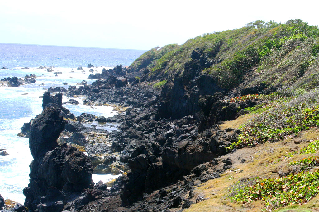
| at this Black Rock coast
|
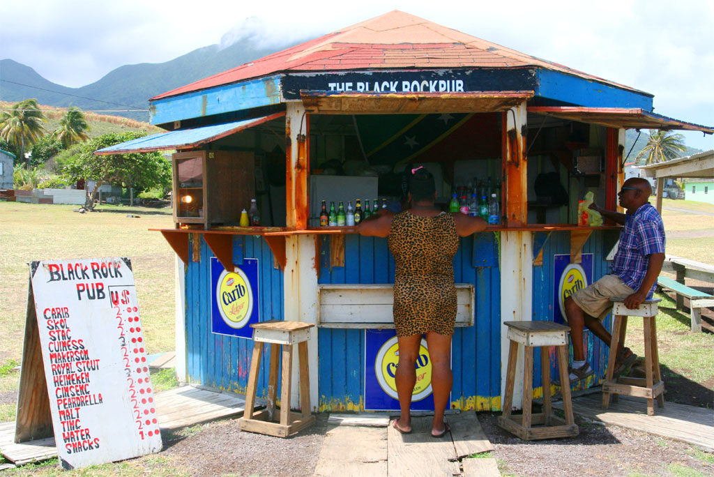
| The local beer at the black rock pub is cheaper
|
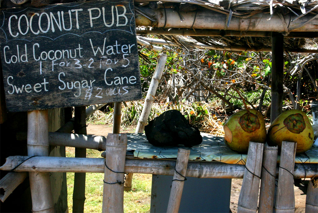
| than a coconut water drink
|
From the north we drove down the east coast all the way to the beaches in the south just before the island narrows down on both sides to a long stretched peninsula. I assumed that we would drive farther down till the end of the whole island for the extra 20 USD, but no way. Anyway, it was already a nice spot for a spectacular view. And this area had everything for vacationers: Beaches, resorts and many restaurants.
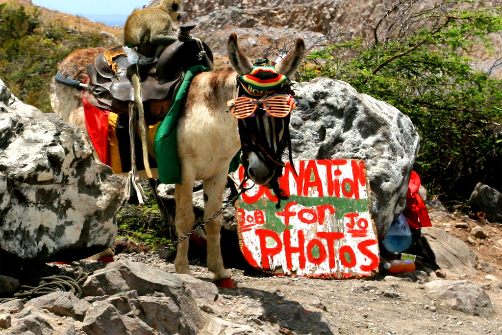
| No photo with the donkey and me
|
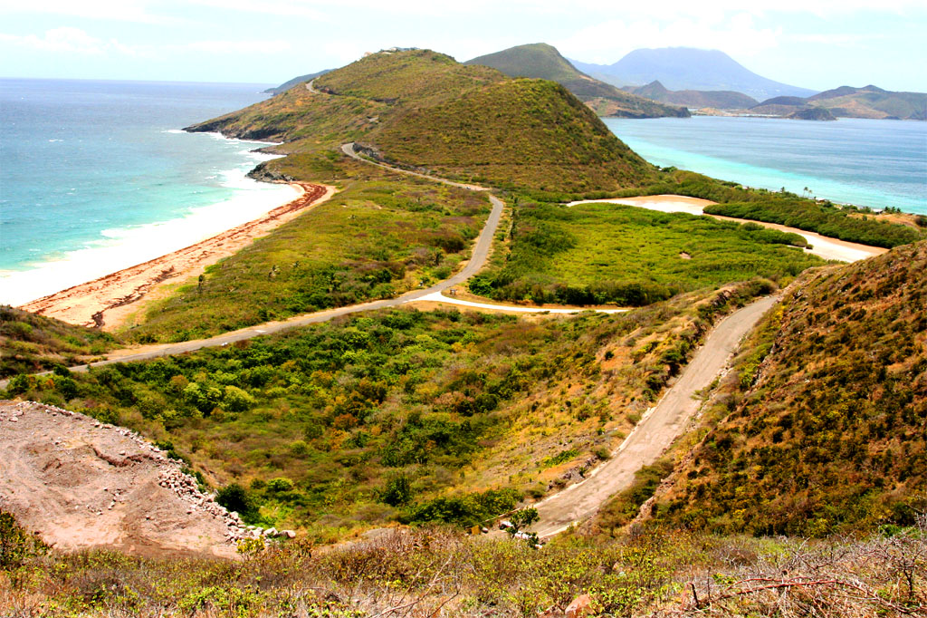
| But a photo down as far as you can see
|
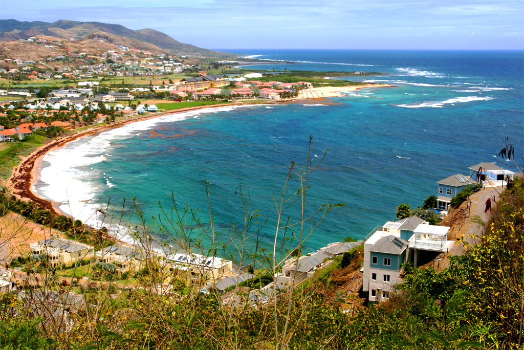
| What a nice beach at the east coast
|
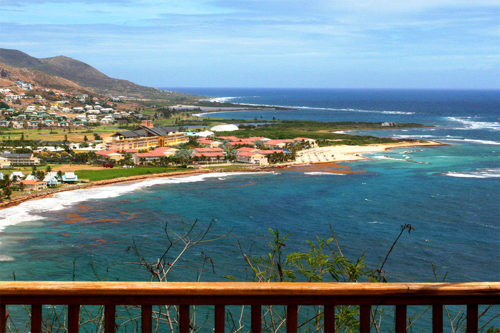
| with the Marriott Royal Beach Resort at the end
|
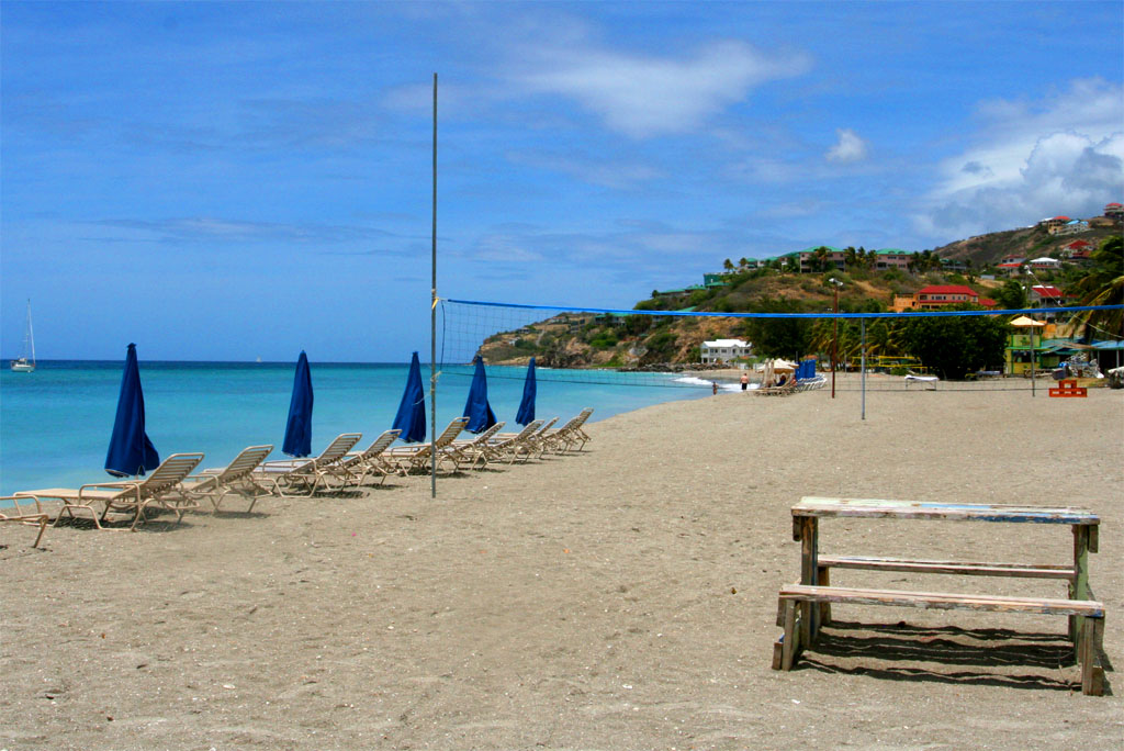
| Next another nice beach at the west coast
|
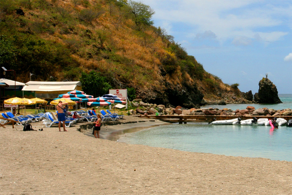
| at the beautiful Frigate Bay
|
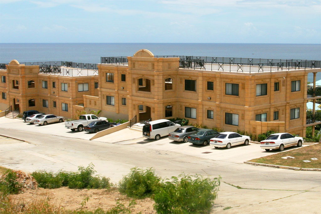
| Many people own a condo and live here
|
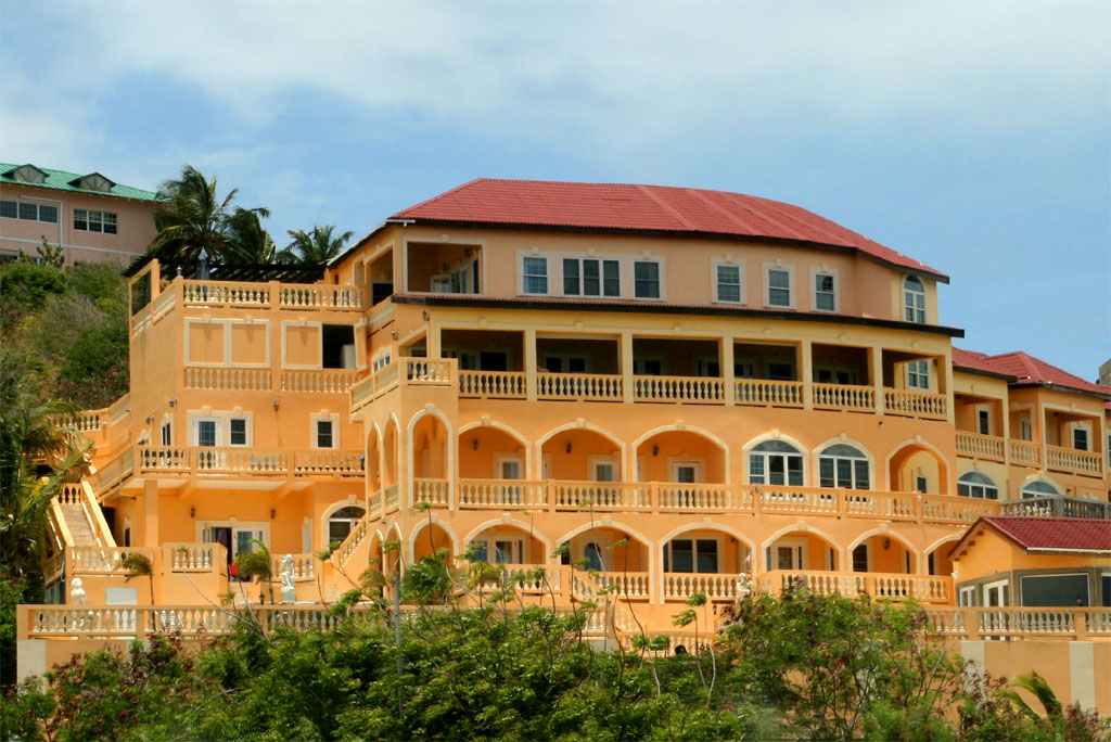
| or have rented one for vacation
|
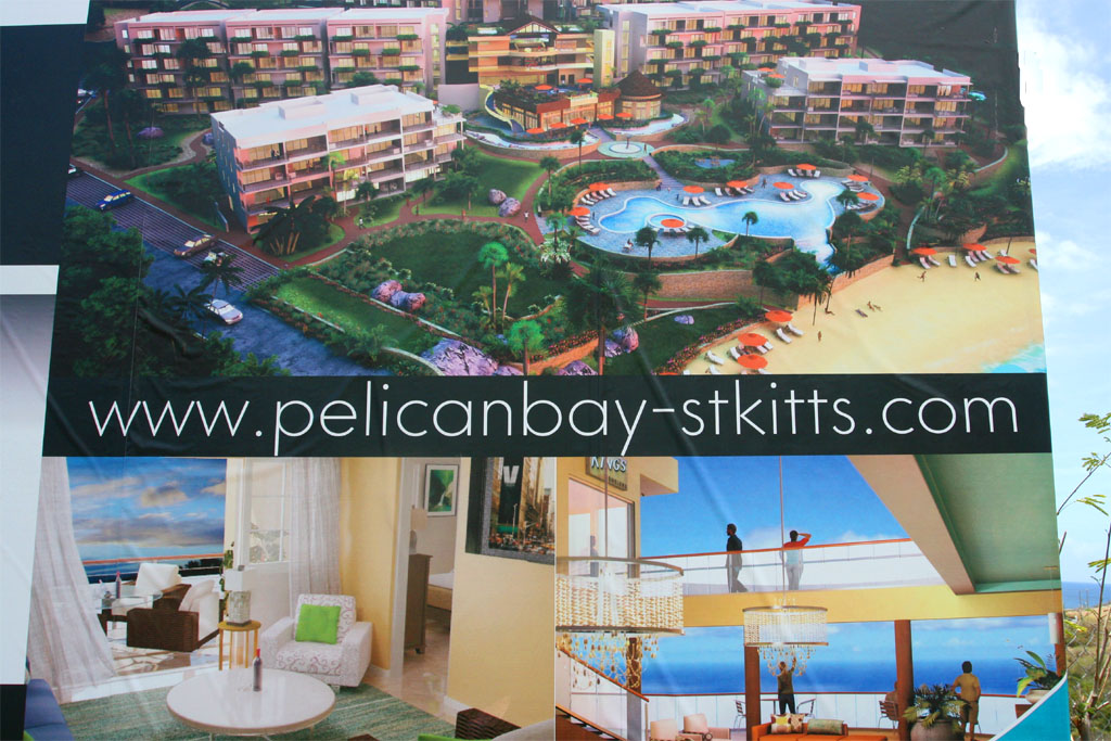
| You can buy a condo here
|
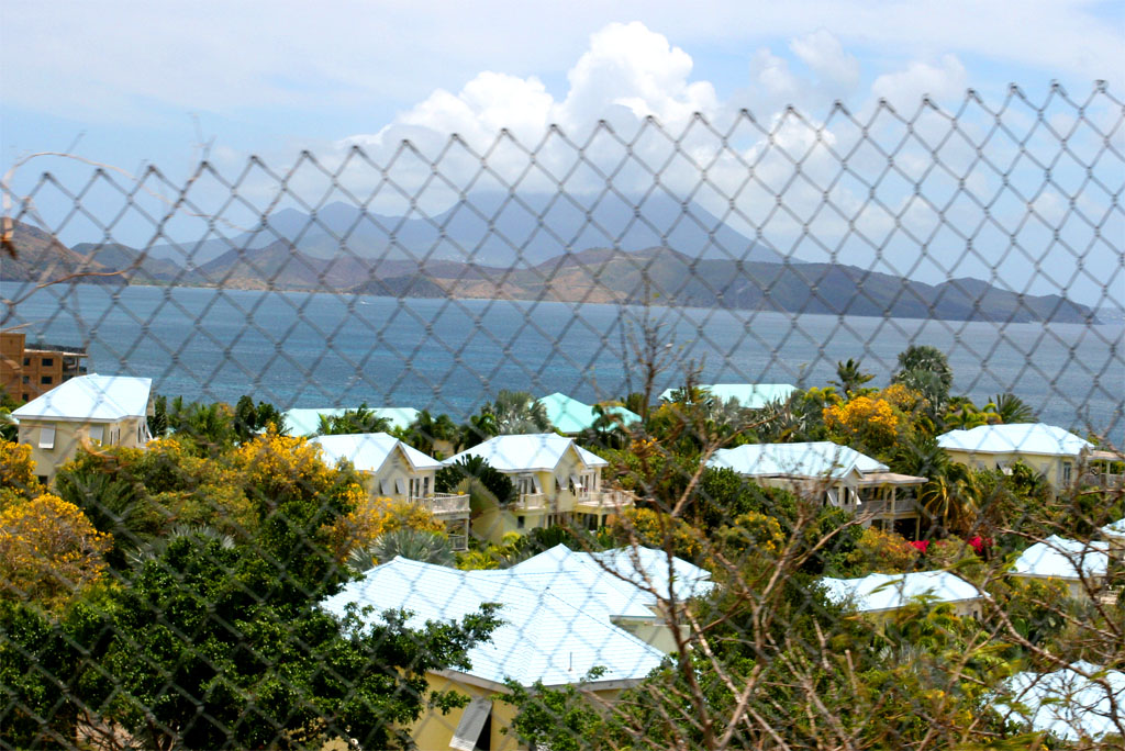
| or one of the houses you see behind the fence
|
After a few miles to the west we completed the around the island trip by getting back to Basseterre, where we had some time left to take a look around town by foot.
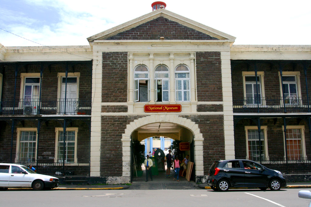
| We didn't visit the museum in Basseterre
|
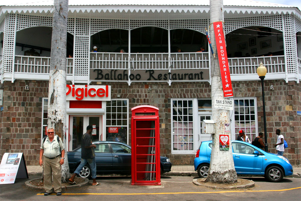
| There were other interesting sights: A British phone both
|
In the middle of the Circus in Basseterre stands the Berkeley Memorial, which features a drinking fountain as well as a clock. There are four clock faces, each one facing one of the four streets leading to the Circus. It was built in honor of Thomas B.H. Berkeley, a former president of the General Legislative Council in the 1880s.
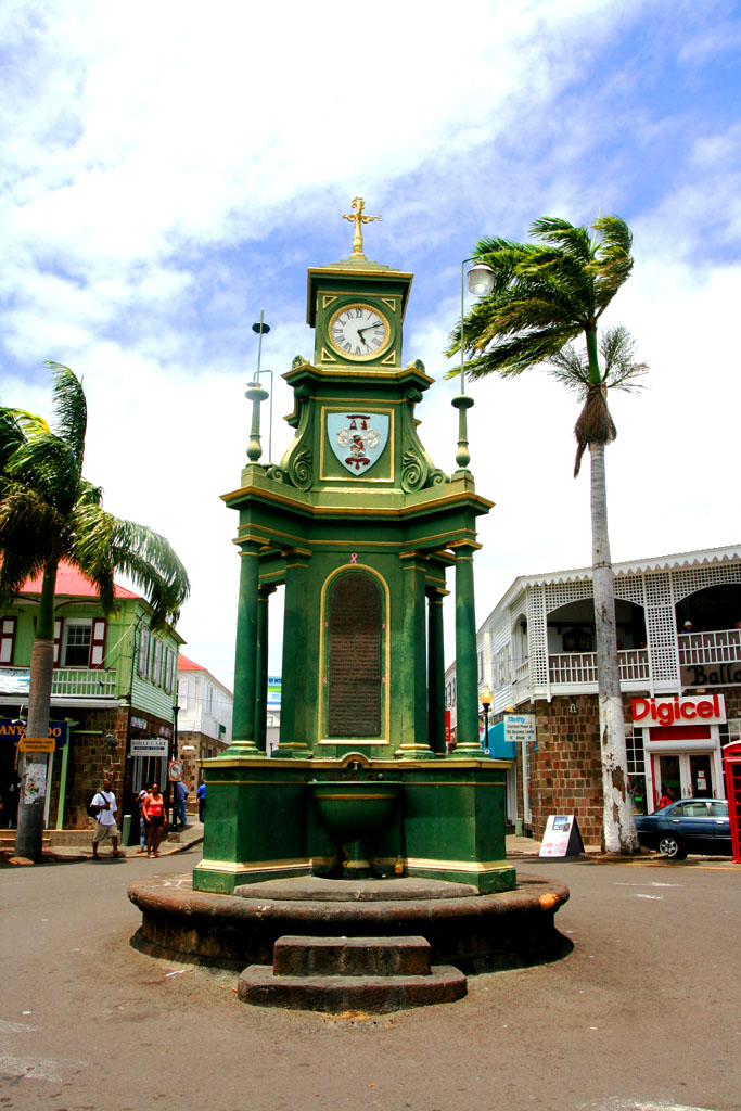
| This clock is the most famous sight in town
|
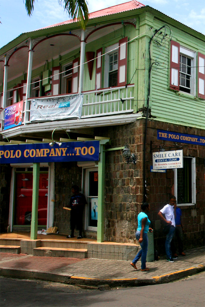
| not much else though
|
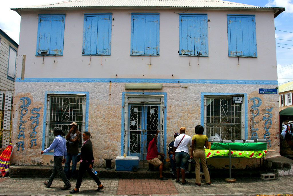
| Not many interesting places to see
|
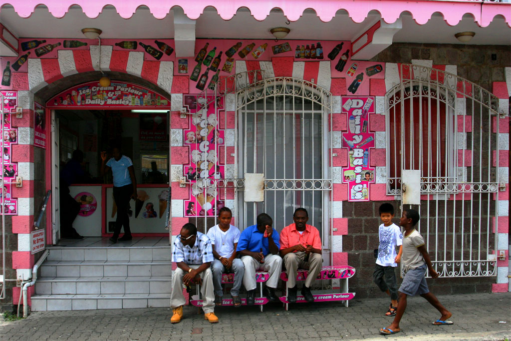
| except for this ice cream parlor
|
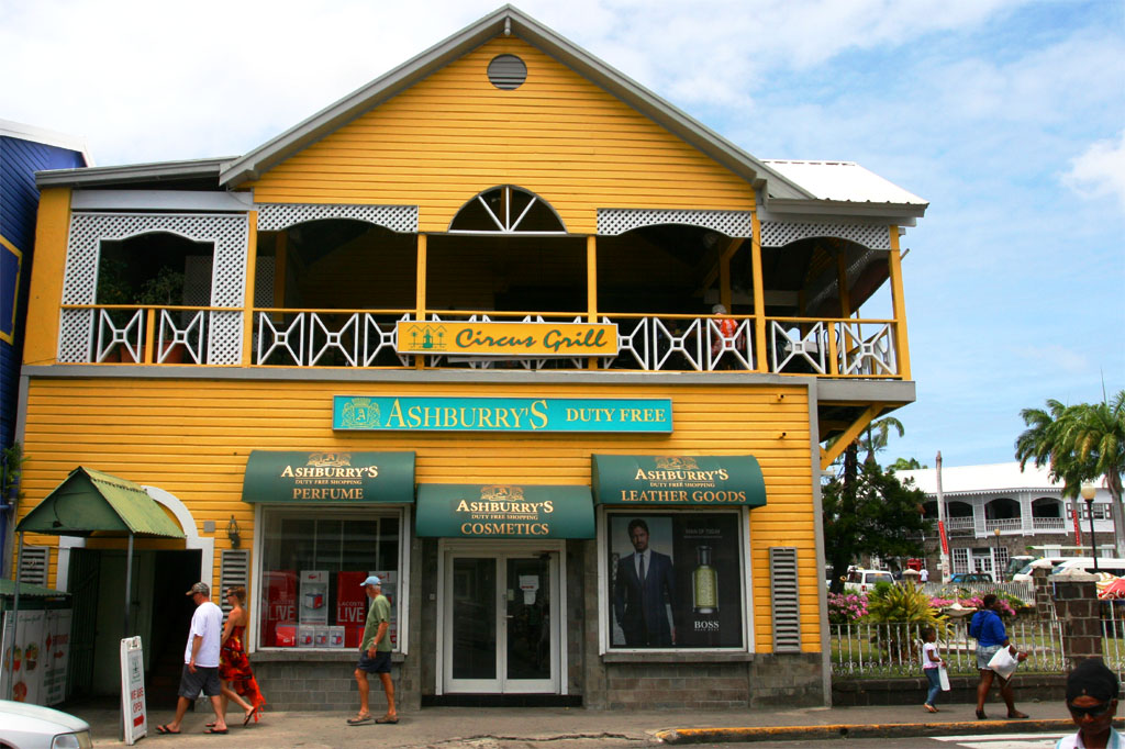
| Restaurants and shops look nice
|
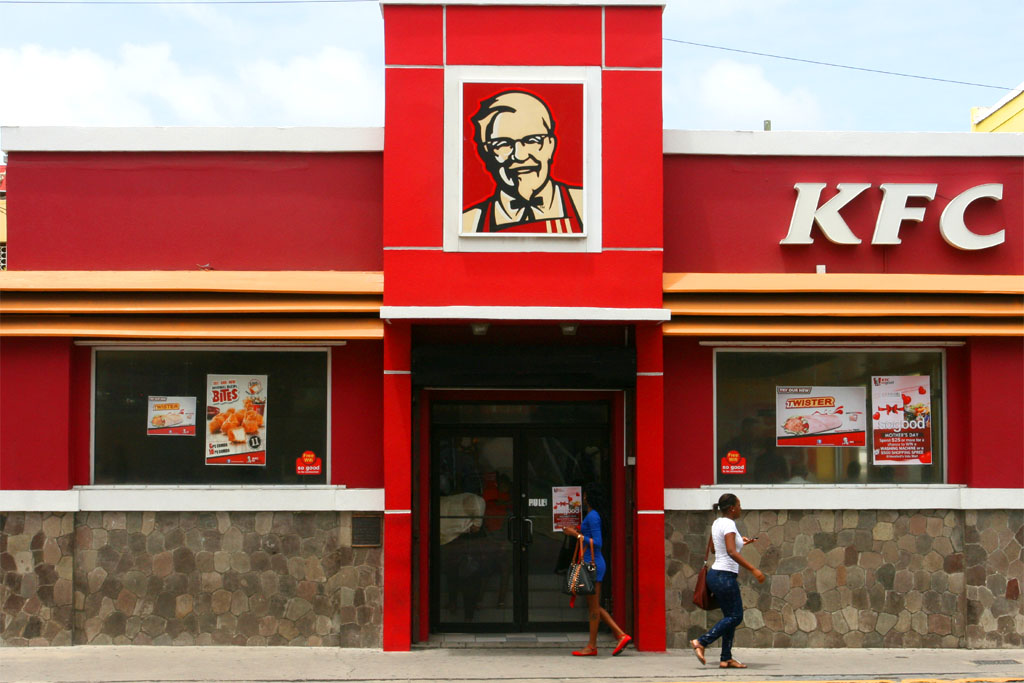
| and this one looks very familiar
|
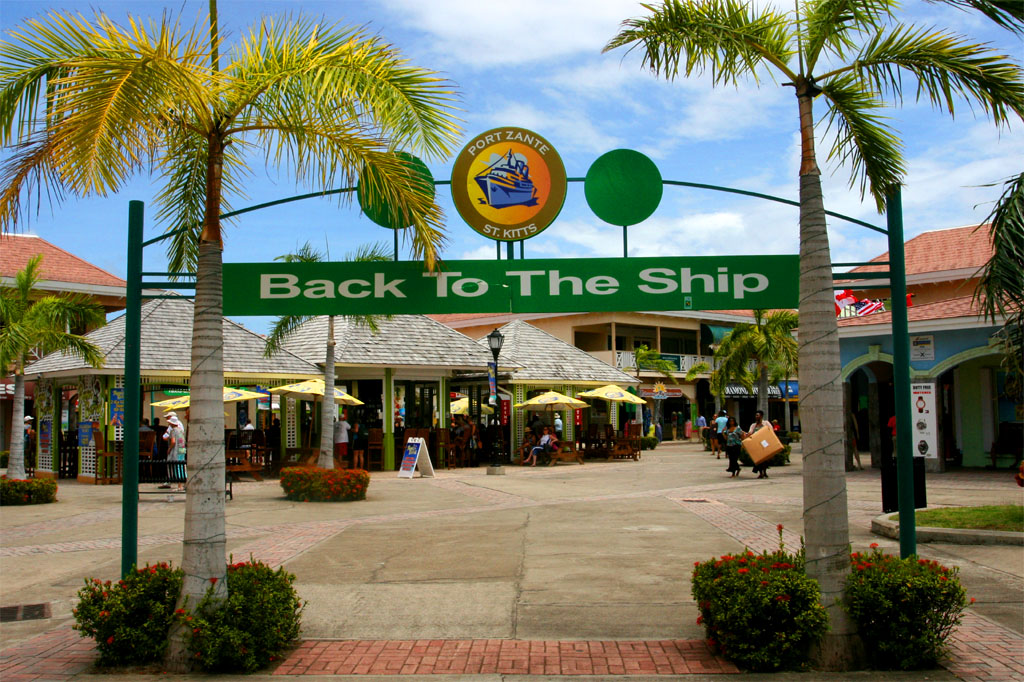
| Better going back to the ship
|
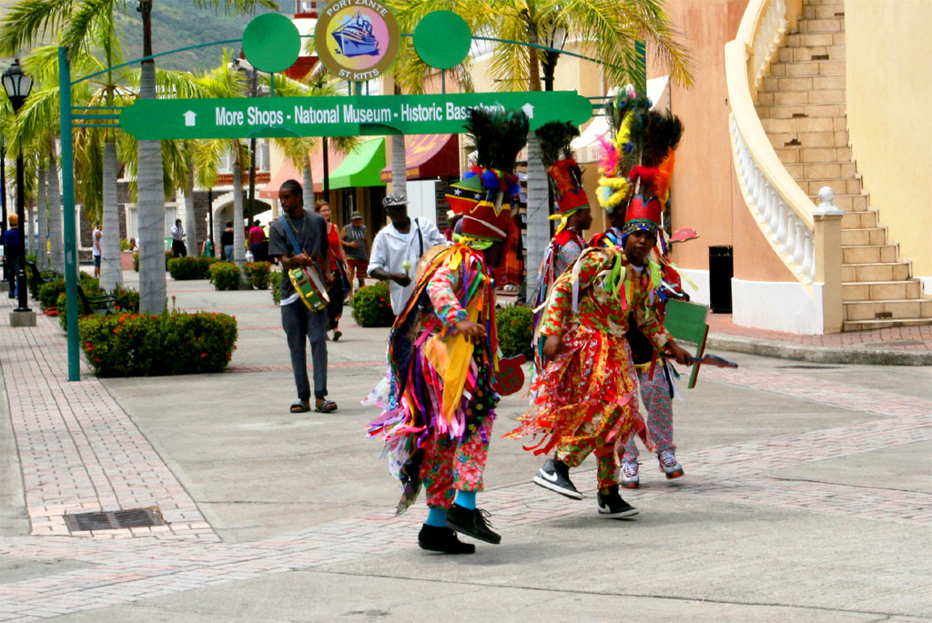
| while encountering more shops and some folklore
|
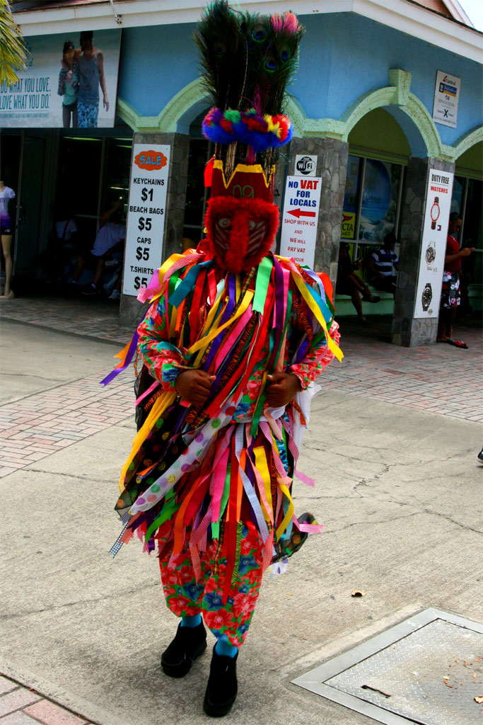
| Caribbean Indians in costumes
|
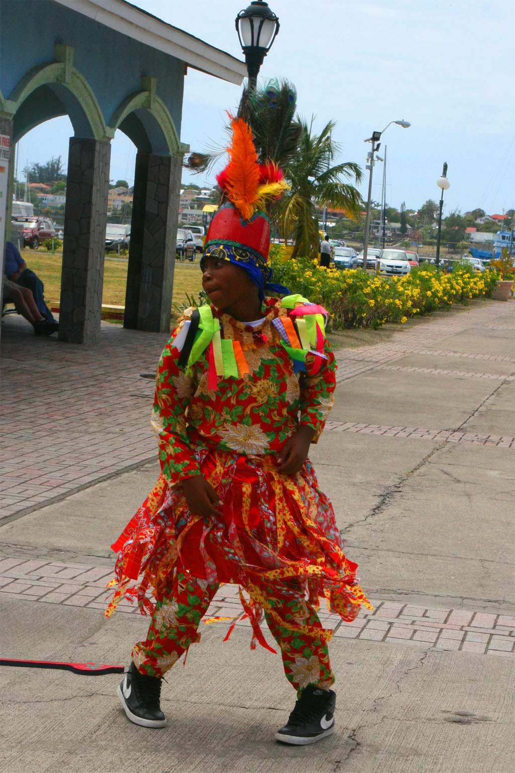
| were dancing around
|
That's it. Not much but all what you can do in a day between 9:00 a.m. and 5:00 p.m. Again: We always try to leave our arrival city right away in order to see the countryside first to be on the safe side to reach our ship before the scheduled departure. It get's very expensive if you miss the ship. One white lady told us that it once happened to her. She even was jailed and mistreated, because she didn't have the right documents, whatsoever, with her. Eventually she was able to fly out (I don't remember that she named the island).
Now at last some more information about Saint Kitts and Nevis:
Following is an excerpt from "en.wikivoyage.org/wiki/Saint_Kitts":
"Over the centuries, St. Kitts and Nevis changed hands many times between English and French, which has left it a heritage of cities with names from both countries. However, the architecture there is British colonial in style and the driving is on the left. Saint Kitts does have one of the highest murder rates per head of the population in the Caribbean region. Accordingly, visitors should exercise appropriate care. Although attacks on tourists are rare for the most part".
Saint Kitts and Nevis became an associated state of the United Kingdom with full internal autonomy in 1967 and achieved independence in 1983.
It's a constitutional monarchy and parliamentary democracy. The Queen Elizabeth II is still head of state and is represented locally by the Governor-General. The head of government is the Prime Minister. The House of Assembly has 14 members.
English is the official language, but a local dialect is spoken by many. According to a census in 2001 Saint Kitts and Nevis had 46,111 inhabitants, of these are 1.0 % whites, 95.4 % are of African origin and mulattos, 3.0 % are Asians and East Indians.
The currency is the East Caribbean Dollar (EC$). The exchange rate is 2.70 EC$ for 1.00 USD. But there is no problem to pay in USD, but be careful not to mistake EC$ prices as USD.
All of the previous information are very brief, just to give you an idea of what kind of islands Saint Kitts and Nevis are. If you want to know more about the places we have visited and more about politics, economy, etc. then look up any guidebook and the internet.
| 